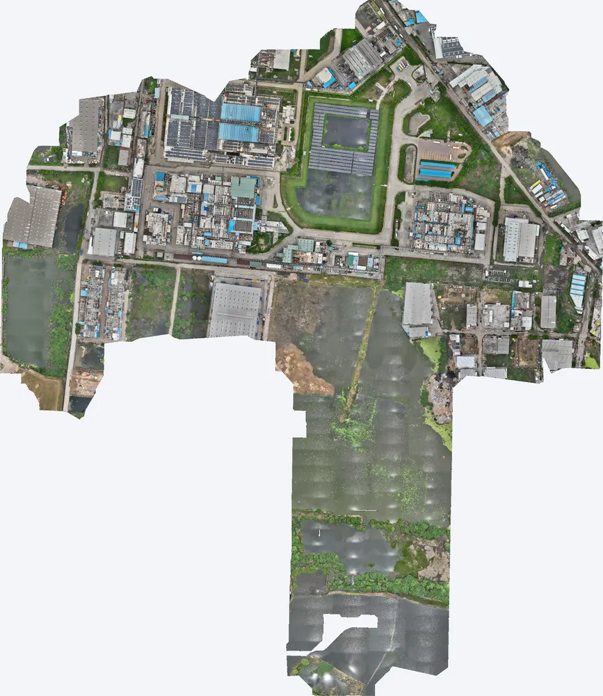
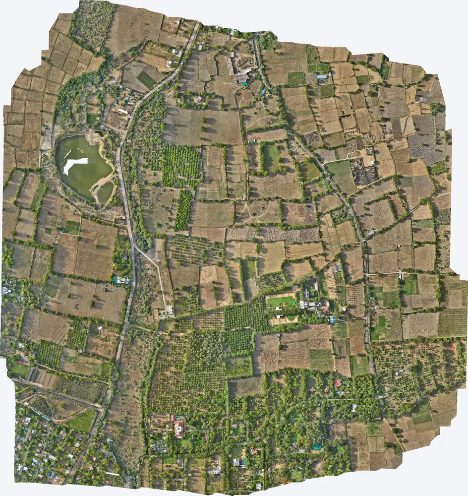
Real projects, real accuracy figures. From a 247 sq km master plan survey to a single industrial plant, these are surveys TerraX has flown, processed and delivered, covering more than 280 sq km in total.
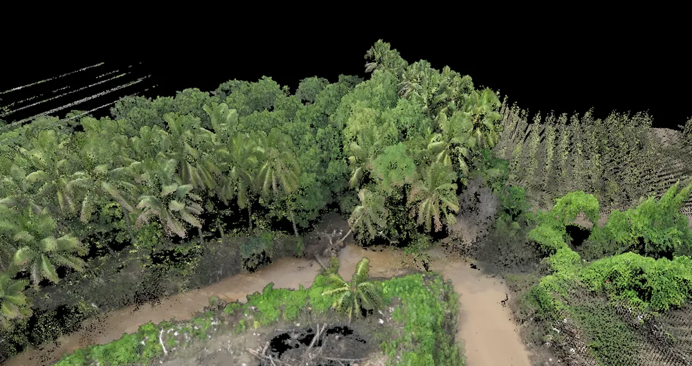
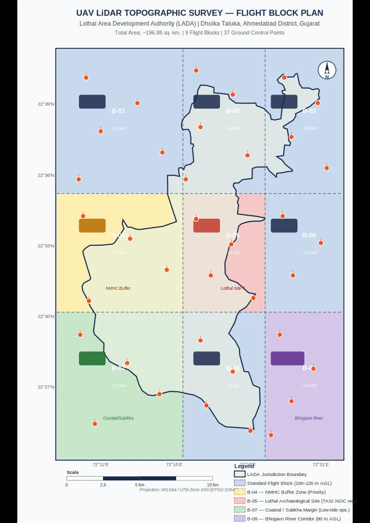
TerraX surveyed 247 sq km of the Lothal heritage region with drone LiDAR, merged every flight block into one seamless terrain model, and gave the master plan team measured ground levels at 0.04 m accuracy.
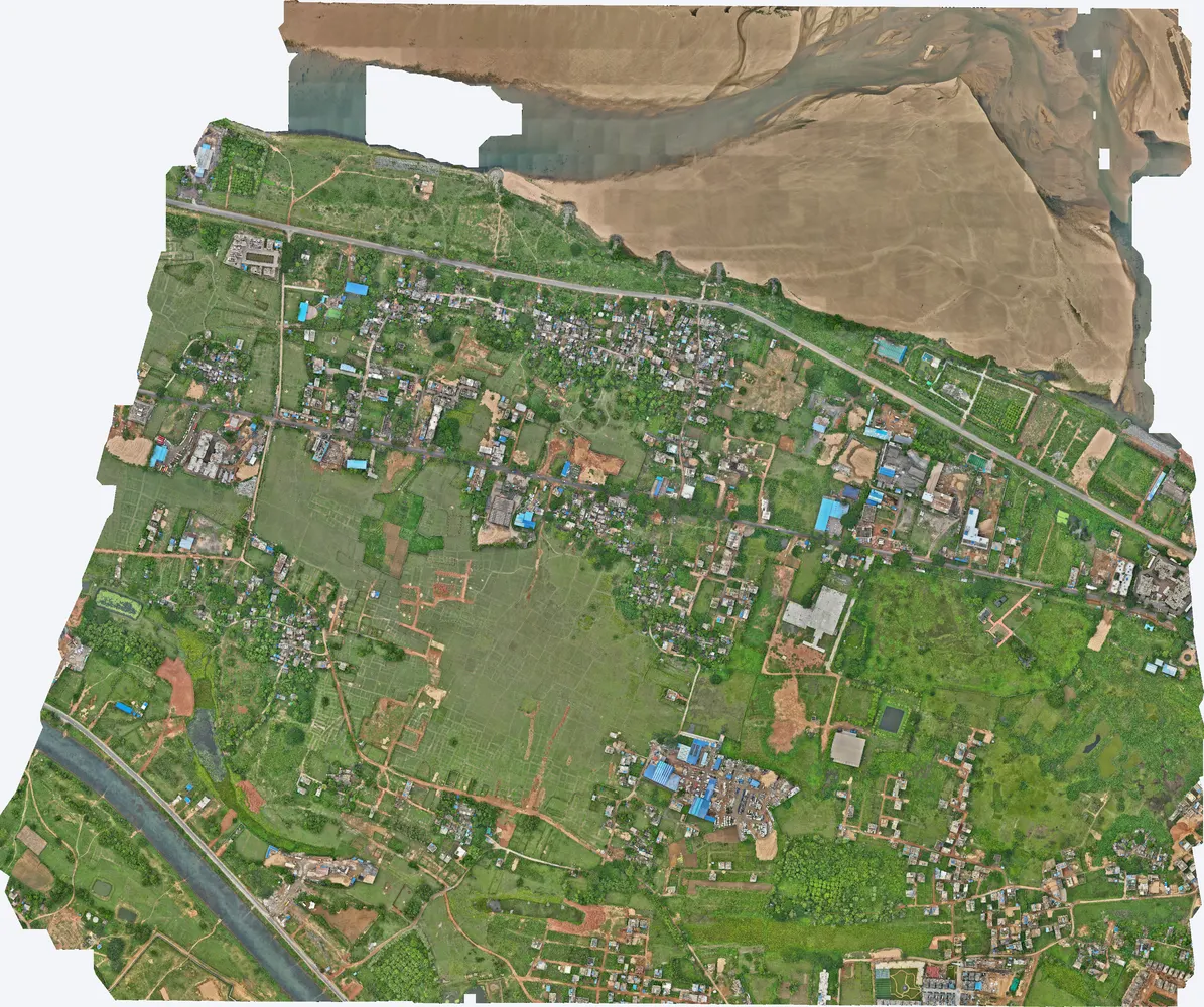
A government department asked TerraX to test whether drone LiDAR could find illegal construction on government land. The pilot covered three villages near Cuttack, and its results were used to plan a much larger programme.
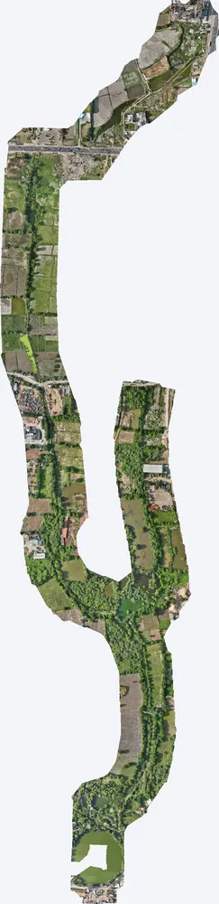
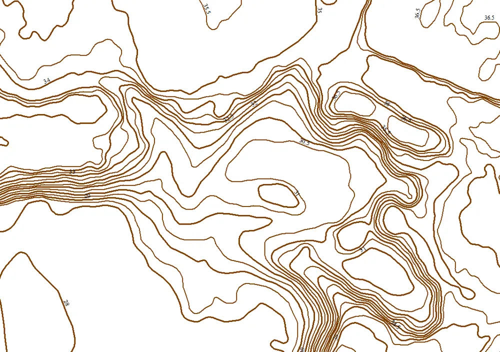
For a government pond interlinking project, TerraX surveyed the drain corridor at Santhal with drone LiDAR, giving the engineers the levels they needed for alignment, bed slope and earthwork design.
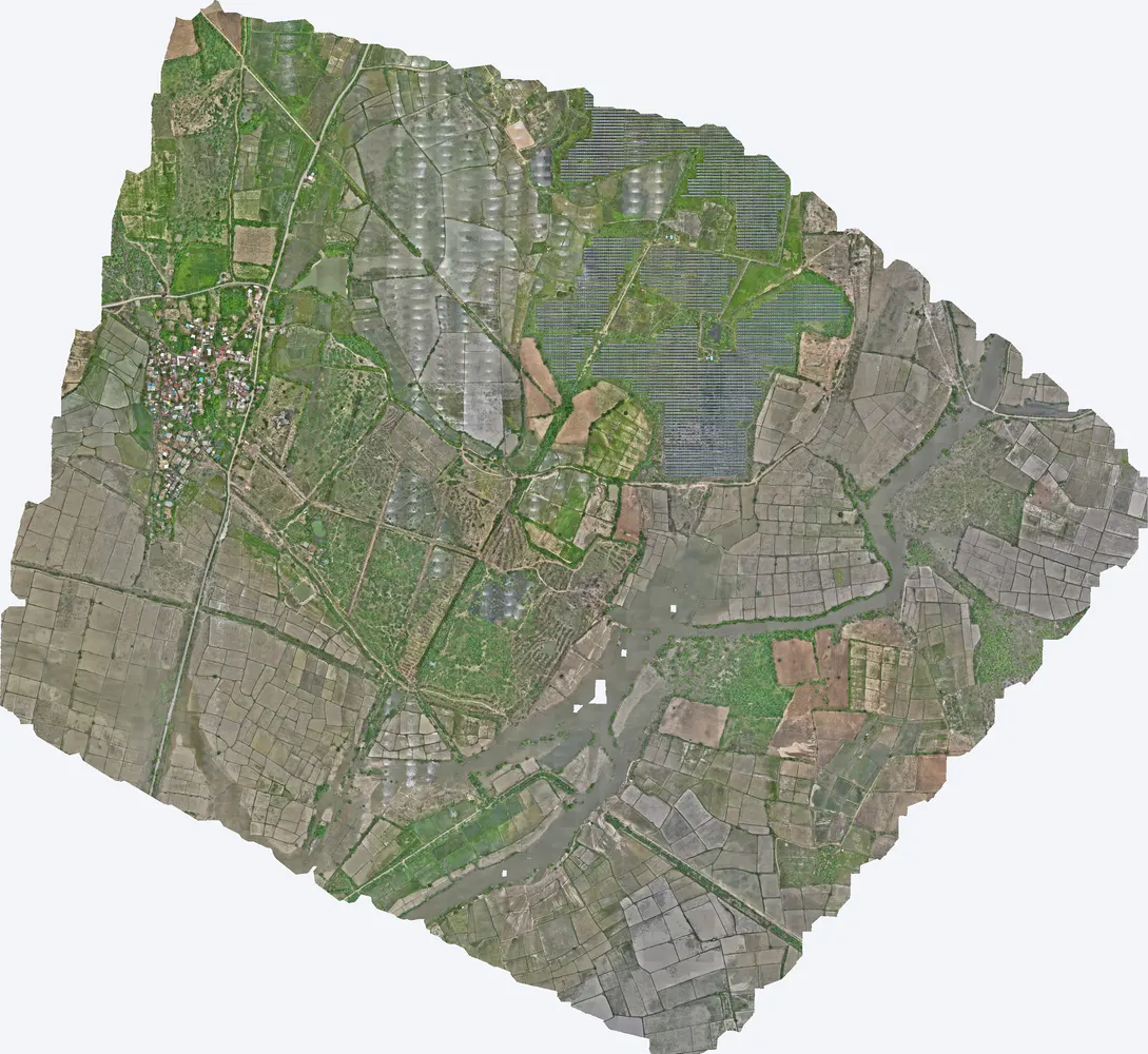
TerraX surveyed 1,416 acres for the Shukra horizontal development near Sanand, giving the developer a complete terrain model for layout, roads and drainage planning.
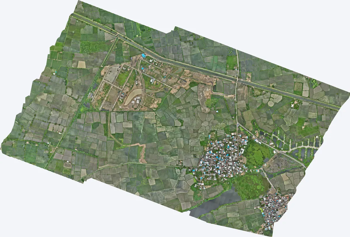
TerraX surveyed 550 acres at Moti Devti near Sanand for a developer planning a horizontal development.
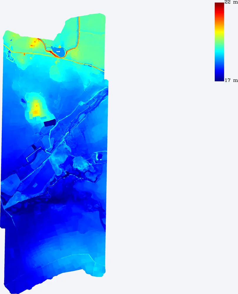
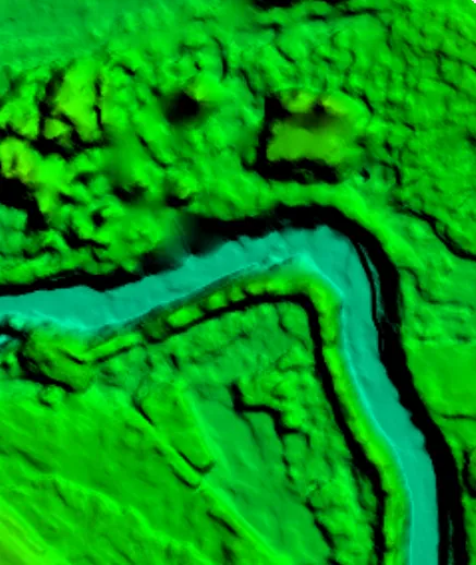
TerraX surveyed a 1,099-acre development site near Sanand, including the drain that crosses it, so the developer could plan the layout around the natural drainage.
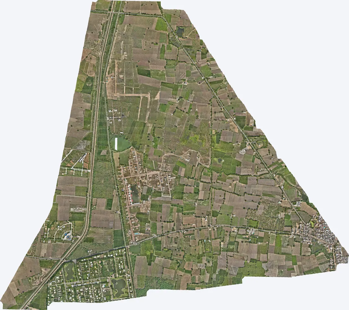
TerraX surveyed 1,141 acres at Agol in Kadi taluka for a developer planning a horizontal development.
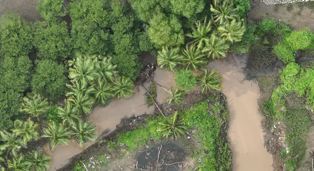
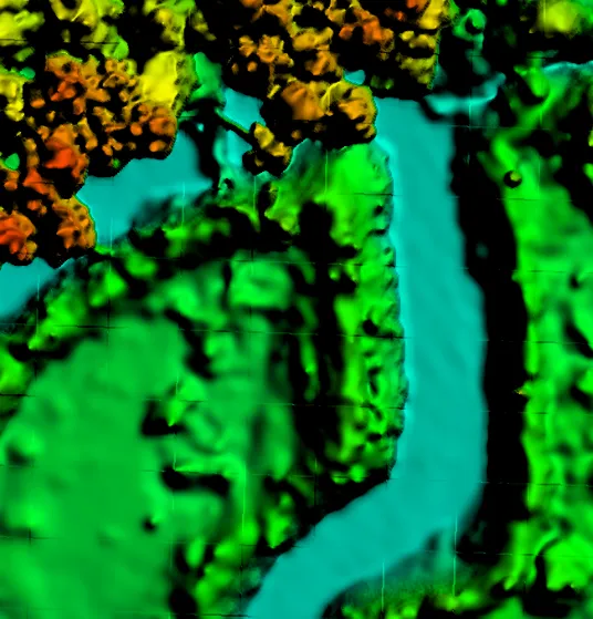
Government master plans and land surveys, industrial sites, real estate developments, drains and canals, and private land, using drone LiDAR and photogrammetry.
From a few acres to more than 200 sq km. Large areas are flown in blocks and merged into one seamless dataset.
Yes. Projects include Odisha, and the team works across India.
Send the location (KMZ or Google Maps pin), the area and what the survey is for. We reply with a method, a price and a timeline.