
We turn survey data into layers and answers your team can use: catchments and flow paths, encroachment maps, asset layers and CAD-ready drawings.
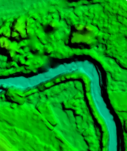
| Best for | Drainage and flood studies, land records, asset mapping, planning reports |
|---|---|
| Inputs | Our survey data or your existing LiDAR, orthophoto and DEM |
| Outputs | Classified point cloud, catchments, flow paths, asset layers, maps |
| Formats | SHP, GeoPackage, GeoTIFF, DWG/DXF, PDF; web viewer on request |
Survey data becomes useful when it answers a question. We process the point cloud and terrain model into the layers your engineers and planners need, in the formats their software uses.
Projects where we delivered this service.
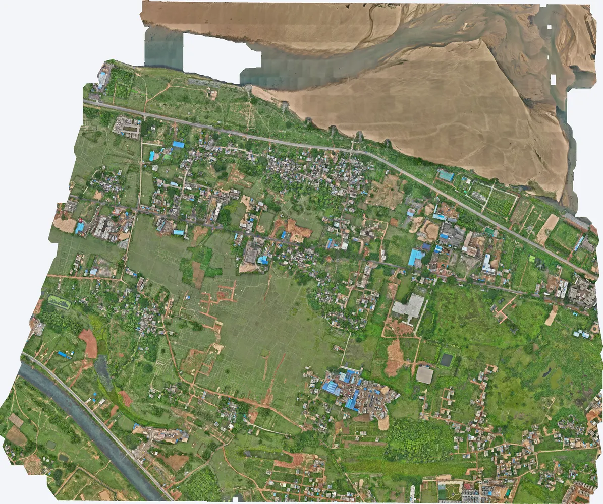
Survey overlaid on government land boundaries to identify illegal constructions.
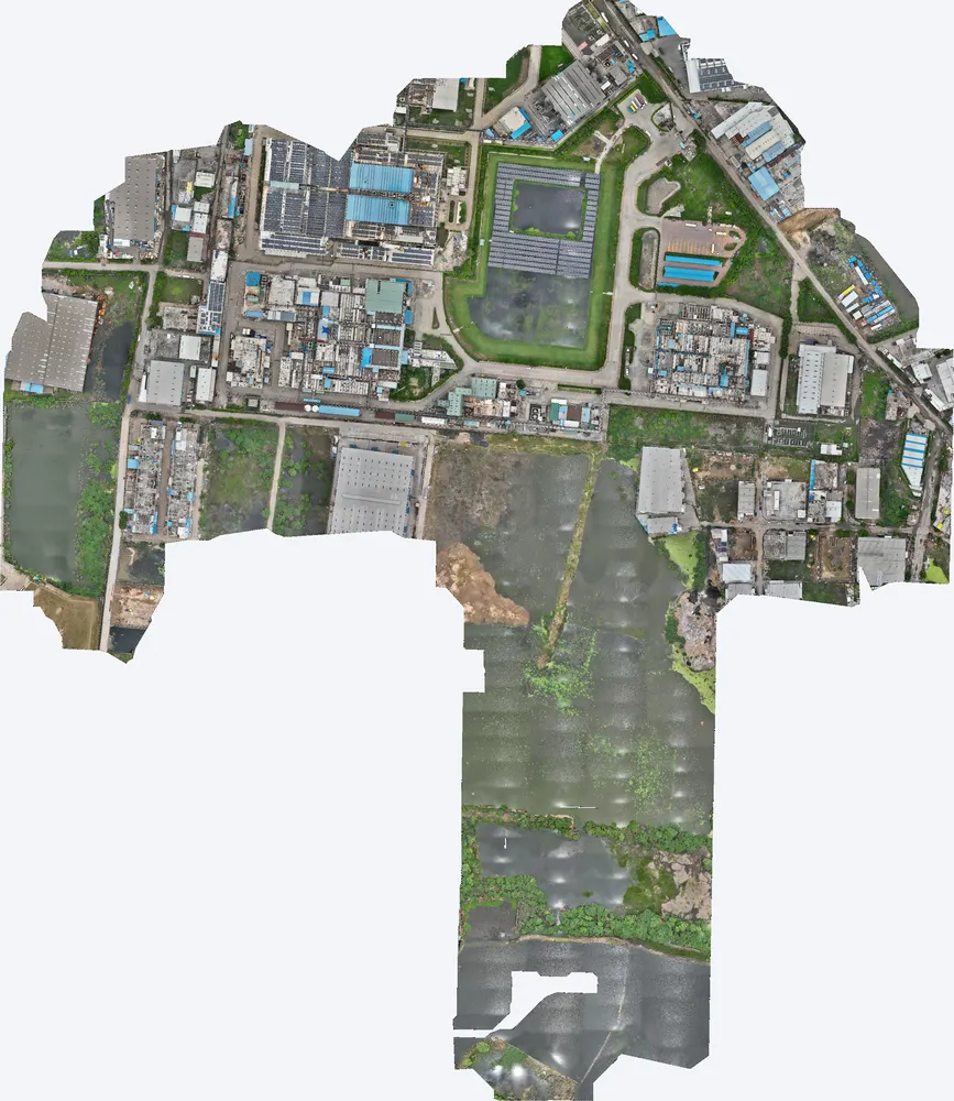
Catchments, flow paths and pond levels mapped for flood protection and insurance.
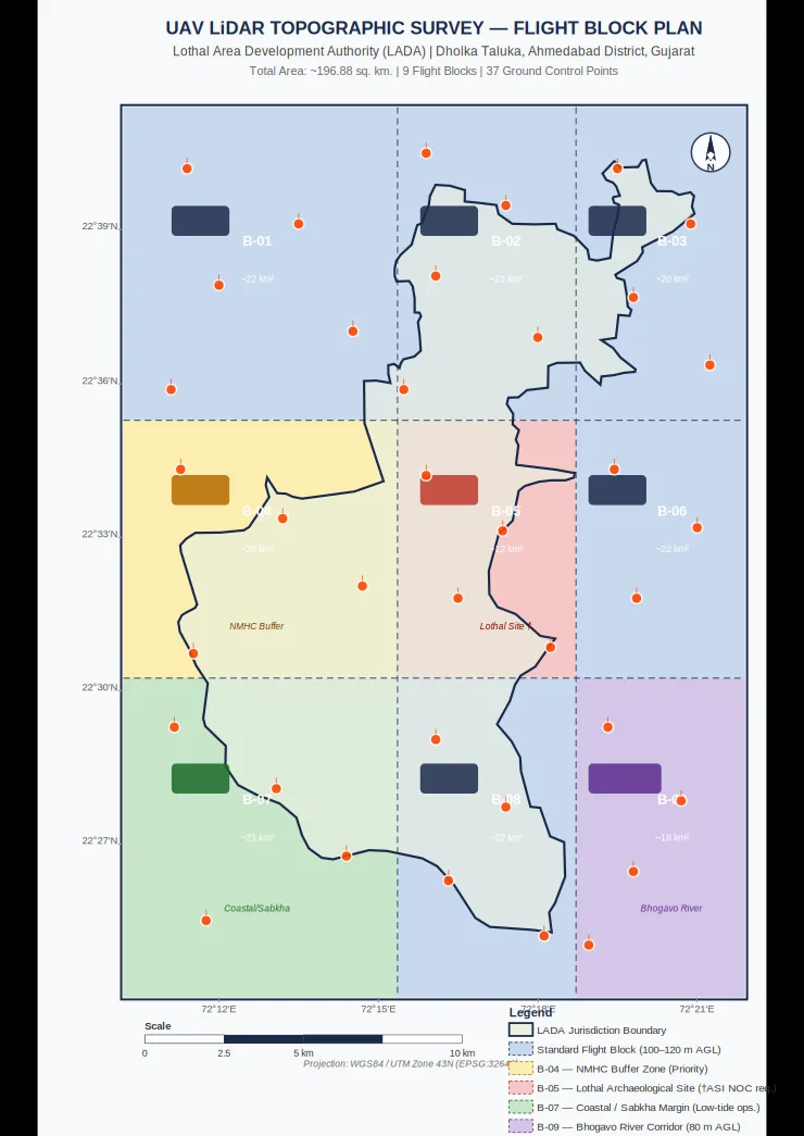
Terrain model prepared for flood hydrology and 2D flood modelling.
Yes. We can work on your existing LiDAR, orthophoto or DEM.
SHP, GeoPackage, GeoTIFF, DWG/DXF and PDF, for AutoCAD, Civil 3D, QGIS and ArcGIS.
Yes, on request, so non-technical users can view the data in a browser.
Send the site location (KMZ or Google Maps pin), the area and the outputs you need. We reply with a method, a price and a timeline.