
TerraX surveyed 550 acres at Moti Devti near Sanand for a developer planning a horizontal development.
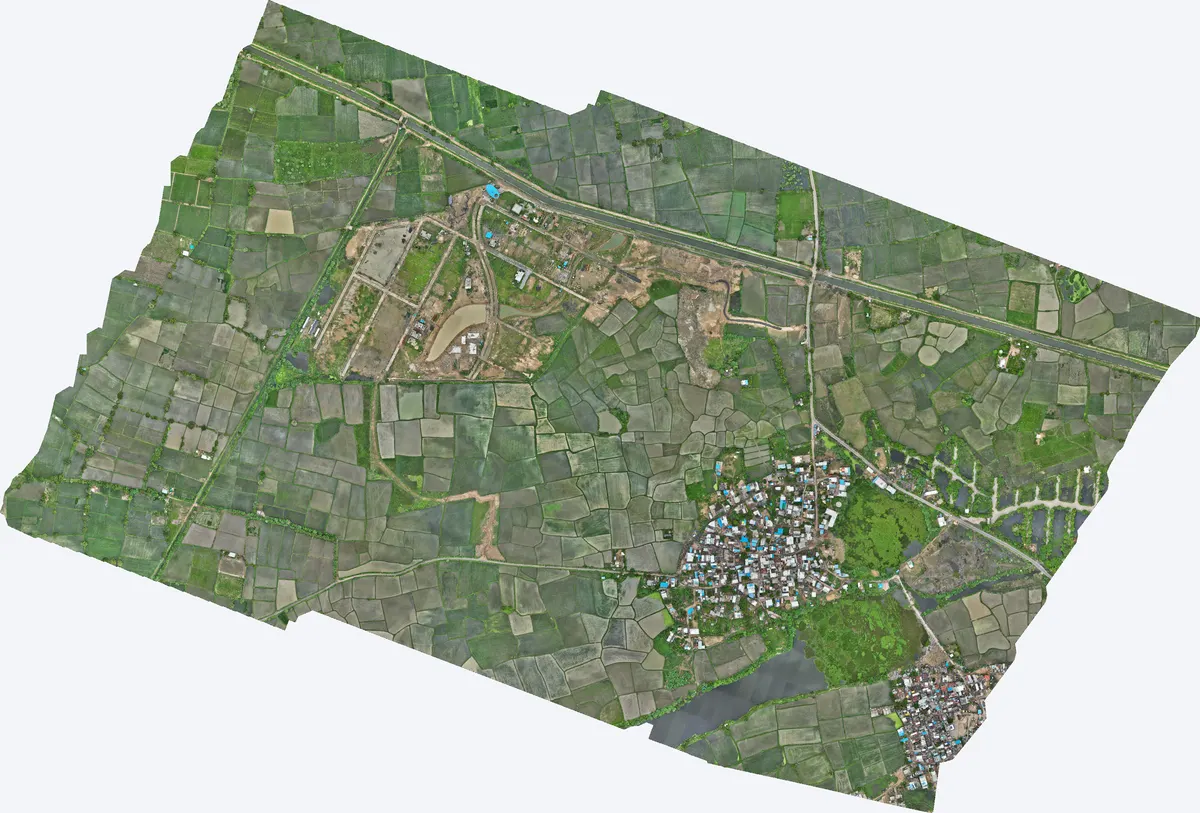
| Location | Moti Devti, Sanand taluka, Ahmedabad district, Gujarat |
|---|---|
| Client type | Developer |
| Purpose | Survey for proposed horizontal development |
| Area | 2.22 sq km (550 acres) |
| Survey | Drone LiDAR with RGB camera, 2 flights, 20 strips |
| Ground control | 5 DGPS control points; independent checkpoint within 0.8 cm |
| Height accuracy | 2.5 cm RMSE |
| Outputs | Orthophoto, DSM, DTM, contours, classified point cloud |
The developer needed accurate levels across the whole site to plan plots, roads and drainage before design work began.
Two flights with 20 flight strips covered the site. Five DGPS control points fixed the levels, and an independent checkpoint matched within 0.8 cm.
Orthophoto, DSM, DTM, contours and the classified point cloud, in WGS 84 / UTM with EGM2008 heights, ready for CAD and GIS.
The developer used the data to plan the layout, road levels and drainage of the development.
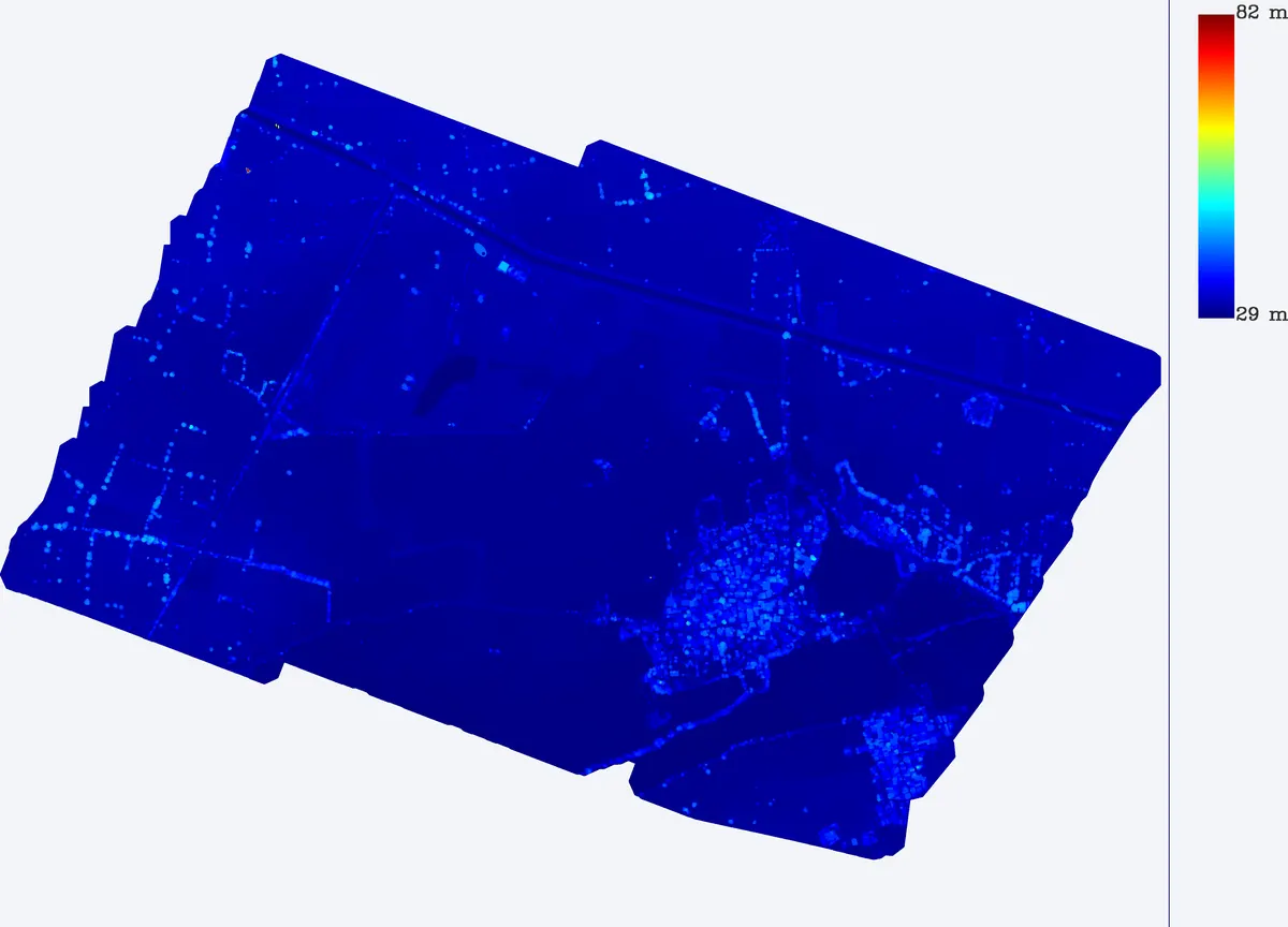
Images from the TerraX survey report for this project. Click an image to open it full size.
Control points gave 2.5 cm RMSE, and an independent checkpoint matched within 0.8 cm.
A survey before purchase shows low areas, drains and earthwork needs, which affect the cost of development.
Send the site location (KMZ or Google Maps pin), approximate area and what you need the survey for. We reply with a method, a price and a timeline.