
TerraX surveyed 1,416 acres for the Shukra horizontal development near Sanand, giving the developer a complete terrain model for layout, roads and drainage planning.
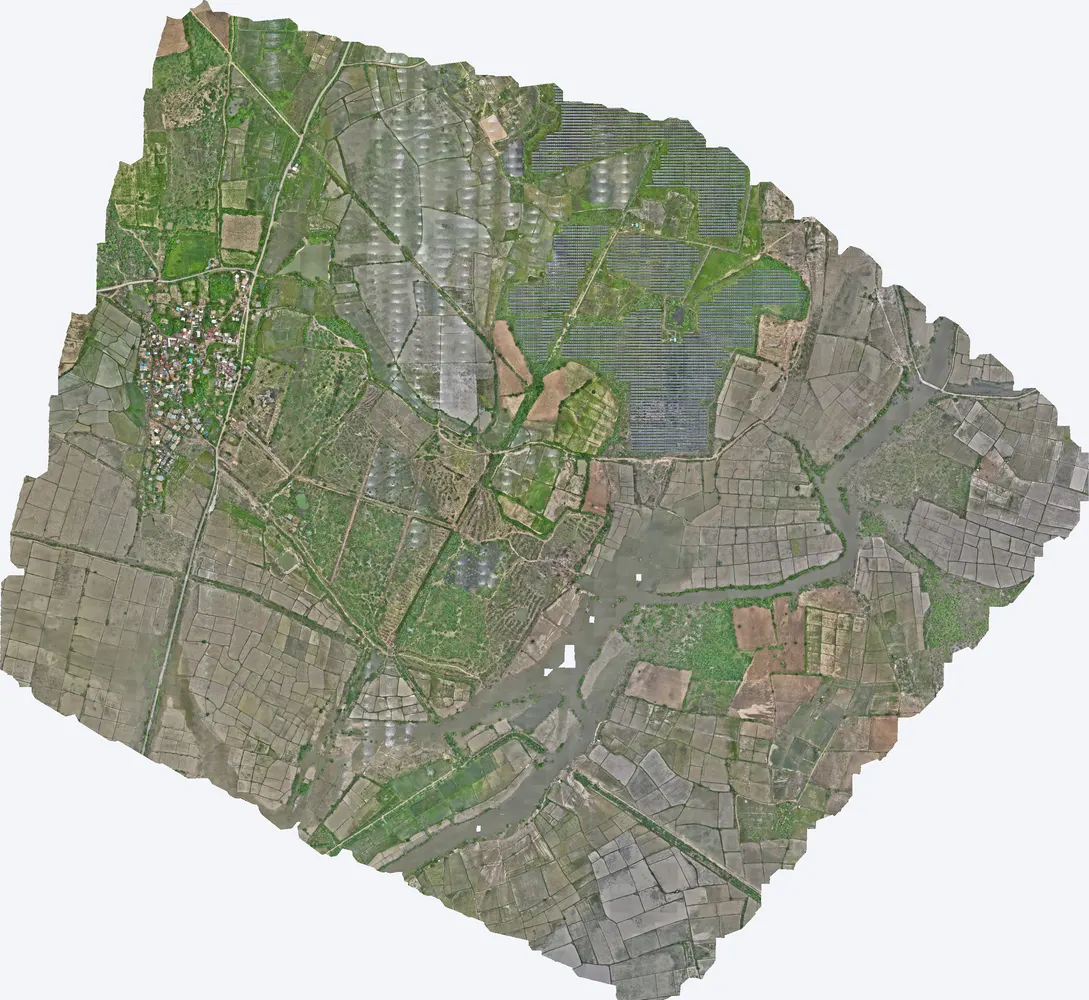
| Project | Shukra horizontal development |
|---|---|
| Location | Sanand taluka, Ahmedabad district, Gujarat |
| Client type | Developer |
| Purpose | Survey for proposed horizontal development |
| Area | 5.73 sq km (1,416 acres) |
| Survey | Drone LiDAR with RGB camera, 6 flights, 70 strips at about 110 m |
| Outputs | Orthophoto, DSM, DTM, contours, classified point cloud |
Layout planning for a large plotted development needs the ground levels of the whole site at once: where water flows, where cut and fill are needed, and where roads can run at good gradients.
The site was flown in six flights with 70 flight strips. Ground points were classified and the terrain model was built for the full 1,416 acres.
Orthophoto, DSM, DTM, contours and the classified point cloud, in WGS 84 / UTM with EGM2008 heights, ready for CAD and GIS.
The developer used the terrain model to plan the layout, road levels and storm water drainage of the development.
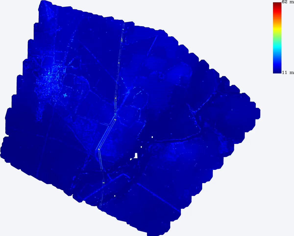
Images from the TerraX survey report for this project. Click an image to open it full size.
Field work takes a few days. Delivery time depends on the outputs; up to 1,000 acres is delivered in 5 days.
Levels for layout, roads, drainage and earthwork, in CAD and GIS formats.
Send the site location (KMZ or Google Maps pin), approximate area and what you need the survey for. We reply with a method, a price and a timeline.