
A government department asked TerraX to test whether drone LiDAR could find illegal construction on government land. The pilot covered three villages near Cuttack, and its results were used to plan a much larger programme.
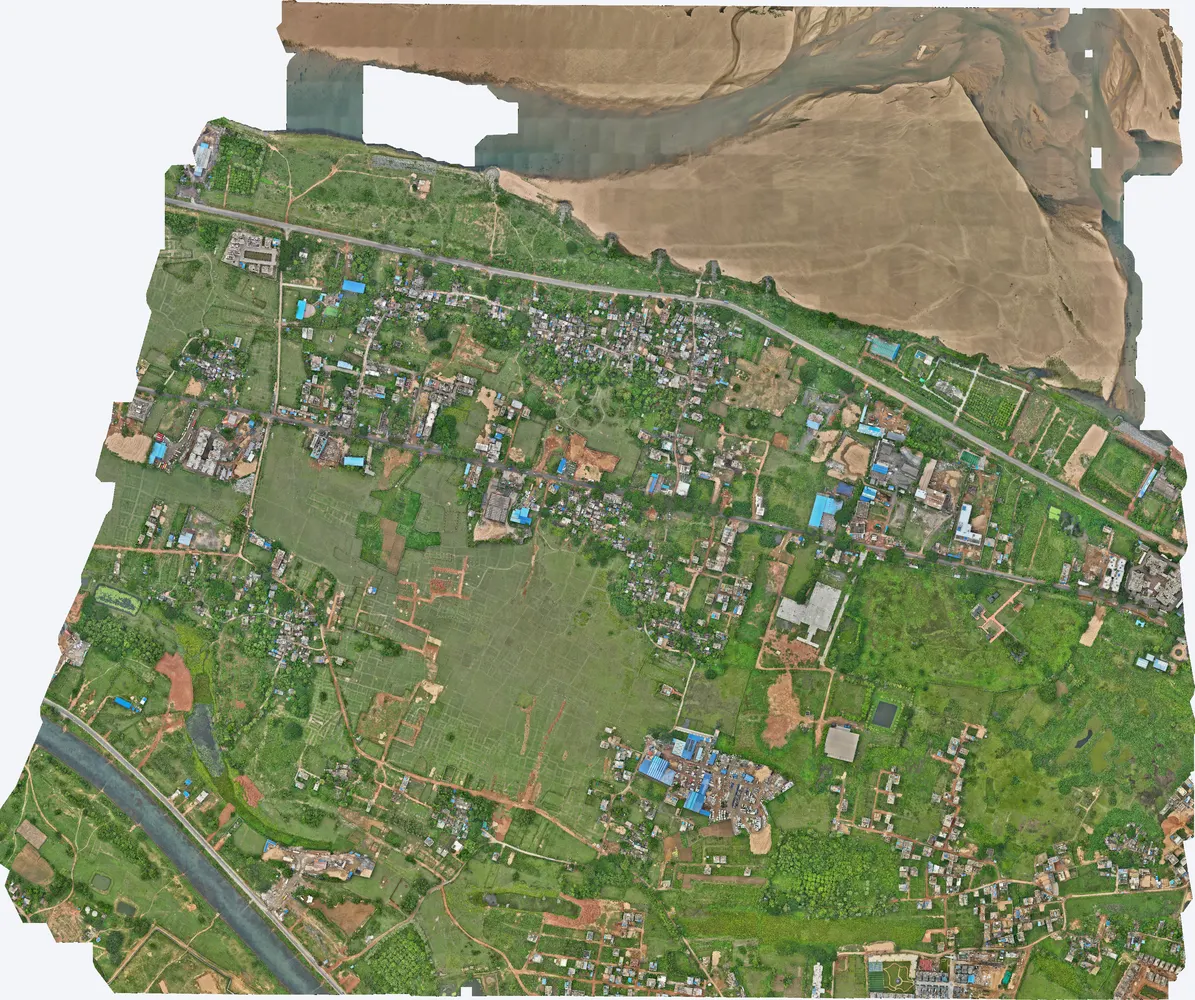
| Location | Three villages near Cuttack, Odisha |
|---|---|
| Client type | Government department |
| Purpose | Pilot project to identify illegal construction and development on government land |
| Area | 14.06 sq km (3,474 acres) in four parcels, covering 1,201 acres of village land |
| Survey | Drone LiDAR with RGB camera, 13 flights, 128 flight strips at about 100 m height |
| Ground control | 63 DGPS control points; PPK fixed solution on 99.9–100% of the flight path |
| Height accuracy | 3.8 cm RMSE over 61 points (two outlier points excluded) |
| Point density | 142–179 ground points per m² |
| Outputs | 5 cm orthophoto, DSM, DTM, contours, classified point cloud (LAS) |
Government land around villages is often built on without approval, and field inspections cannot keep track of every new wall, house or earth fill. Before committing to a large programme, the department wanted to prove on real villages that a drone survey could give a complete, measurable and dated record that holds up when checked on the ground.
The survey area was split into four parcels of about 3.5 sq km, flown in 3 or 4 flights each. 63 DGPS control points tied all four parcels to WGS 84 / UTM Zone 45N with EGM2008 heights, so the parcels fit together without gaps.
Ground points were separated from buildings and trees. The surface model then shows every structure with its height, and the orthophoto shows it at 5 cm detail, ready to overlay on land record maps.
A 5 cm orthophoto for each parcel, DSM, DTM, contours and the classified point cloud, all on one coordinate system with the village boundaries.
By overlaying the orthophoto and surface model on the government land boundaries, the department identified the illegal constructions in all three villages.
The pilot showed that the method works at village scale, with measured accuracy and a clear record for each structure. Based on these results, the department has planned a larger programme using the same approach.
Accuracy note: two control points in one parcel differed by 31 cm and 20 cm, far more than the rest, and are treated as outliers. With all 63 points the RMSE is 6.0 cm.

Images from the TerraX survey report for this project. Click an image to open it full size.
The DSM shows the height of every structure, so new buildings, walls and fills show up even in narrow lanes or near trees.
A pilot on a few villages proves the method, the accuracy and the output format before a large programme is planned and budgeted.
Yes. This project was in Odisha; the team travels from Ahmedabad to sites anywhere in India.
Send the site location (KMZ or Google Maps pin), approximate area and what you need the survey for. We reply with a method, a price and a timeline.