
Stockpile volumes, pit and bench surveys and periodic records for mines and quarries, measured from the air so that no one has to walk on stockpiles or benches.
| Best for | Stockpile volumes, pit progress, bench mapping, lease boundary records |
|---|---|
| Vertical accuracy | ±5 cm |
| Outputs | Volumes, DSM, orthophoto, contours, sections, comparison between surveys |
| Repeat surveys | 10–20% discount on repeat surveys of the same site |
We fly the mine or quarry, build a surface model and calculate volumes of stockpiles, excavation and dumps. Repeating the survey monthly or quarterly gives a record of what was extracted and moved between dates.
We have not yet published a mining case study. The projects below used the same terrain and volume methods for earthwork, cut and fill.
Projects where we delivered this service.
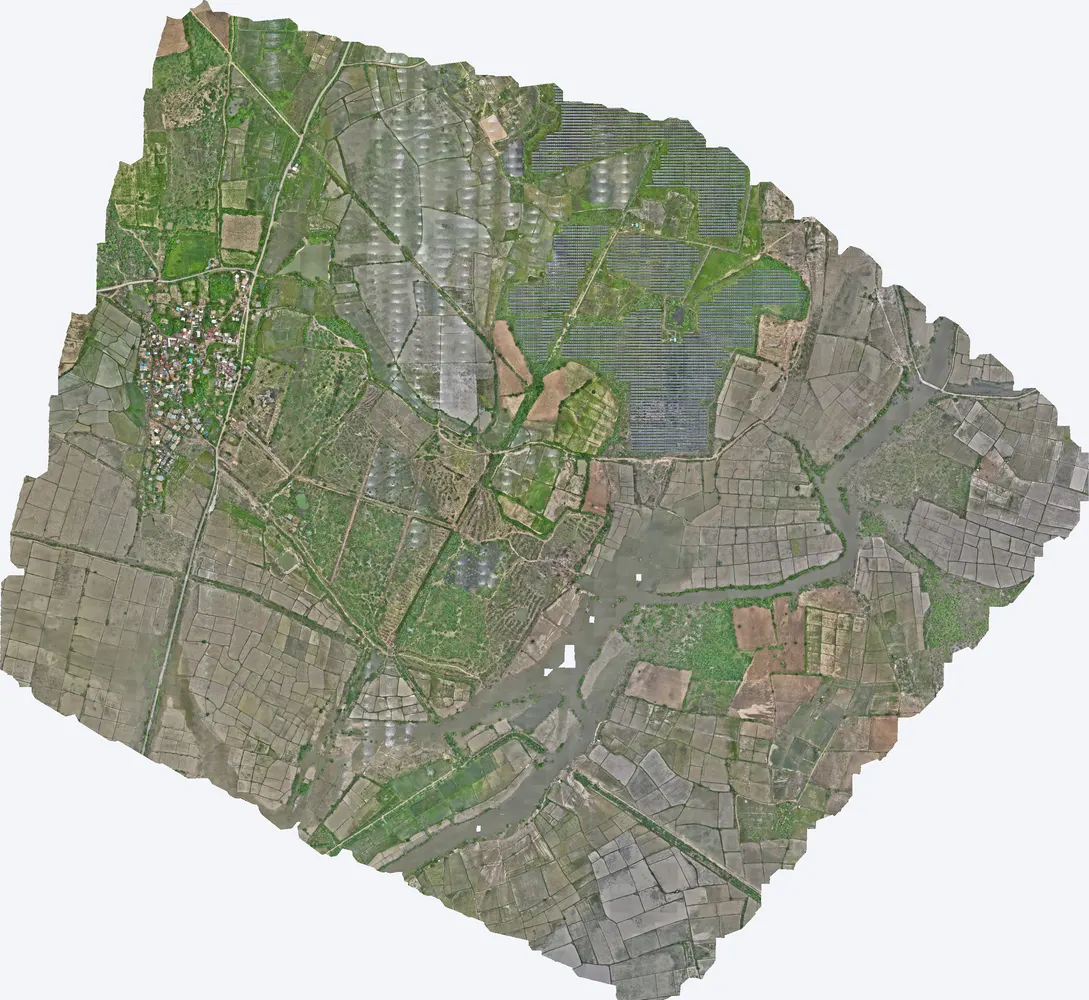
Terrain model of 1,416 acres used for cut and fill planning.
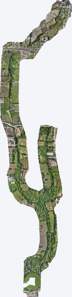
Ground levels used to calculate earthwork quantities for a drain.
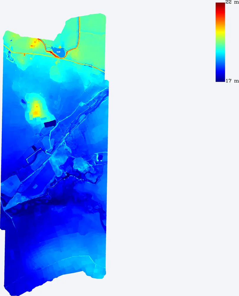
High-density survey (229 points per m²) of a large site for earthwork planning.
The surface is measured to about ±5 cm vertically with DGPS control, which gives reliable volumes for inventory and records.
Monthly or quarterly is common. Repeat surveys of the same site get a 10–20% discount.
No. Only ground control points around the site are measured on foot.
Send the site location (KMZ or Google Maps pin), the area and the outputs you need. We reply with a method, a price and a timeline.