
A manufacturing plant near Sanand used a TerraX LiDAR survey to understand how flood water reaches the site, protect its buildings, and work out its flood insurance cover on measured data.
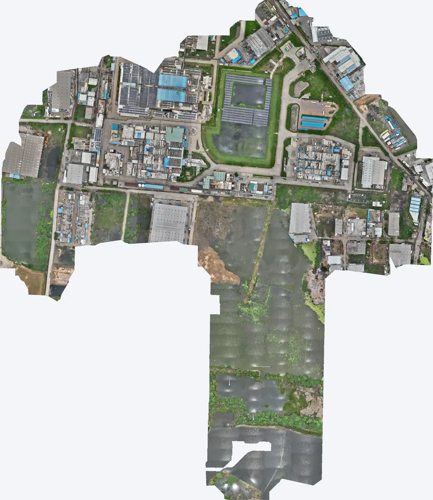
| Location | Sanand taluka, Ahmedabad district, Gujarat |
|---|---|
| Client type | Manufacturing plant |
| Purpose | Map natural slopes, pond levels and catchments to flood-proof the plant and set flood insurance cover |
| Area | 0.66 sq km (162 acres), plant and surrounding land |
| Survey | Drone LiDAR with RGB camera, 16 flight strips at about 99 m |
| Ground control | 6 DGPS control points |
| Height accuracy | 1.7 cm RMSE |
| Outputs | Orthophoto, DSM, DTM, contours, catchment and flow paths |
Heavy rain in the Sanand industrial belt can stop production for days. The plant needed to know where flood water would come from, how high it could rise around its buildings, and how much cover to take for flood insurance. Without measured levels, both the protection works and the insurance amount would be a guess.
We surveyed the plant together with the land and ponds around it, so the full catchment draining to the site was captured. Six DGPS control points gave 1.7 cm height accuracy, enough to compare floor levels, road levels and pond levels with confidence.
An orthophoto, DSM, DTM and contours, with the natural slopes, pond levels, catchment areas and flow paths into the plant marked from the terrain model.
With measured levels, the plant identified the low points at risk, planned drainage and protection works, and used the data to set the right flood insurance cover. Decisions on spending and cover were based on the ground, not on assumptions.
For plant owners: a one-time survey of a few days gives the levels needed for flood protection, insurance and future expansion.

Images from the TerraX survey report for this project. Click an image to open it full size.
It shows the ground and floor levels, the catchment and the likely flood paths, so the insurer and the owner can set cover on measured risk.
Yes. The drone flies over the site; nothing on the ground has to stop.
Send the site location (KMZ or Google Maps pin), approximate area and what you need the survey for. We reply with a method, a price and a timeline.