
TerraX surveyed a 1,099-acre development site near Sanand, including the drain that crosses it, so the developer could plan the layout around the natural drainage.

| Location | Sanand taluka, Ahmedabad district, Gujarat |
|---|---|
| Client type | Developer |
| Purpose | Survey for proposed horizontal development |
| Area | 4.45 sq km (1,099 acres), a long site crossed by a drain |
| Survey | Drone LiDAR with RGB camera, 3 flights |
| Ground control | 9 DGPS control points |
| Height accuracy | 2.4 cm RMSE |
| Outputs | Orthophoto, DSM, DTM, contours, classified point cloud |
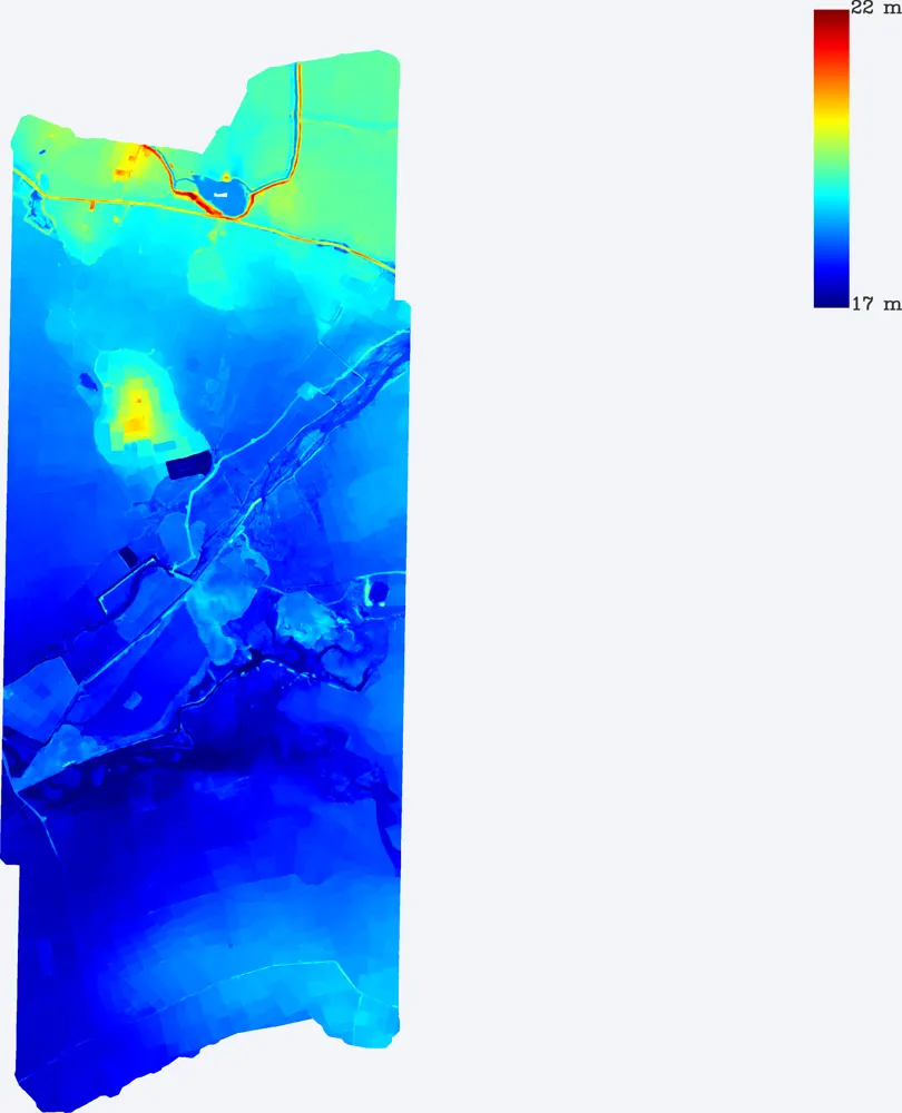
The site is long and narrow and is crossed by a drain. The layout had to respect the drain and its flood area while making the best use of the land.
Three flights covered the site with high point density, and nine DGPS control points fixed the levels. The drain banks and bed were captured in detail.
Orthophoto, DSM, DTM, contours and the classified point cloud, in WGS 84 / UTM with EGM2008 heights, ready for CAD and GIS.
The developer planned the layout, roads and storm water system around the drain using the terrain model.
Images from the TerraX survey report for this project. Click an image to open it full size.
Yes. LiDAR captures the banks and bed of the drain, where the water level allows.
Higher density captures small features such as bunds, kerbs and drain edges more clearly.
Send the site location (KMZ or Google Maps pin), approximate area and what you need the survey for. We reply with a method, a price and a timeline.