
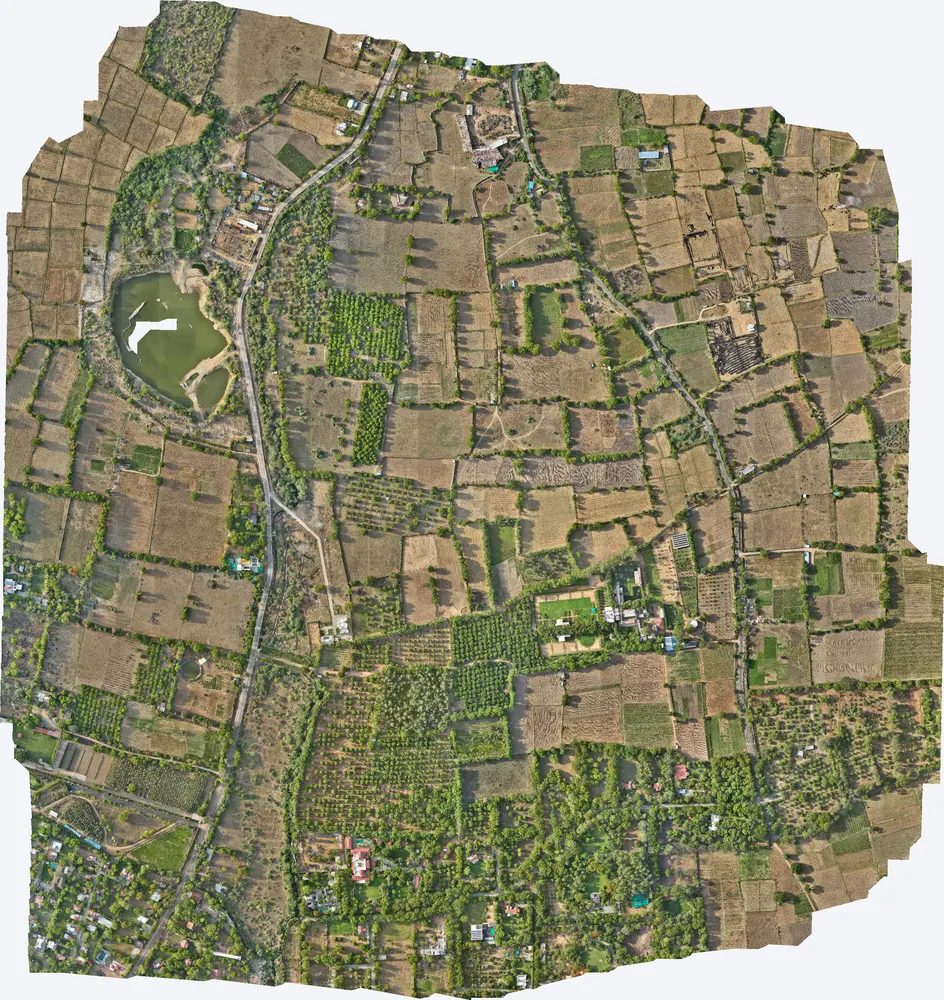
TerraX mapped 531 acres around a private residence at Kharawala near Sanand to find the natural drains and the outfall point, so the owner could design drainage that also recharges groundwater.
| Location | Kharawala, near Telav, Sanand taluka, Ahmedabad district, Gujarat |
|---|---|
| Client type | Private residence owner |
| Purpose | Find natural drains, internal slope problems and the outfall of the surrounding area |
| Area | 2.15 sq km (531 acres) |
| Survey | Drone LiDAR with RGB camera, 4 flights, 27 flight strips |
| Ground control | 12 DGPS control points |
| Height accuracy | 3.6 cm RMSE |
| Outputs | 2.9 cm orthophoto, DSM, DTM, contours |
The owner needed to understand the problems with the internal slopes of the site, and where runoff from the surrounding fields and village drains to. On flat land like this, a few centimetres decide where water flows.
We surveyed the property together with the land around it, including the village lake, so the full catchment was captured. Four flights at about 100 m gave a 2.9 cm orthophoto, and 12 DGPS control points fixed the levels.
DTM, DSM, orthophoto and contours, with the natural drain lines, the internal slope problems and the outfall location marked from the terrain model.
The owner planned the drainage system around the natural flow paths and placed groundwater recharge points in the low areas the survey identified.

Images from the TerraX survey report for this project. Click an image to open it full size.
Water enters from neighbouring land. Without the surrounding catchment, drains end up sized for only part of the flow.
Yes. The terrain model shows where water naturally collects, which are the best places for recharge pits.
Send the site location (KMZ or Google Maps pin), approximate area and what you need the survey for. We reply with a method, a price and a timeline.