
Ground levels for large and difficult sites, measured from the air. Our drone LiDAR survey captures the bare ground under trees, crops and scrub, and delivers a terrain model you can design from.
| Best for | Large sites, vegetation, river beds, uneven ground, flood and drainage studies |
|---|---|
| Vertical accuracy | ±5 cm, checked against DGPS control points |
| Point density | 200–400 points per m² |
| Outputs | Classified point cloud, DTM, DSM, contours, orthophoto |
| Formats | LAS/LAZ, GeoTIFF, DWG/DXF, SHP, PDF |
| Delivery | 5 days up to 1,000 acres; 8 days up to 5,000 acres |
| Price | From ₹0.6–2 lakh for 200 acres; minimum order 200 acres |
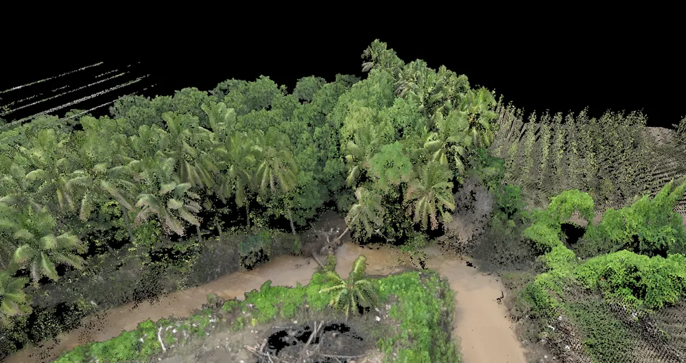
A LiDAR sensor on the drone sends out laser pulses and records where each one returns. Part of each pulse passes through gaps in trees and crops and reaches the ground, so the survey measures the real ground level, not the top of the vegetation. The result is a classified point cloud from which we build the bare-earth terrain model (DTM), the surface model (DSM) and contours.
Projects where we delivered this service.
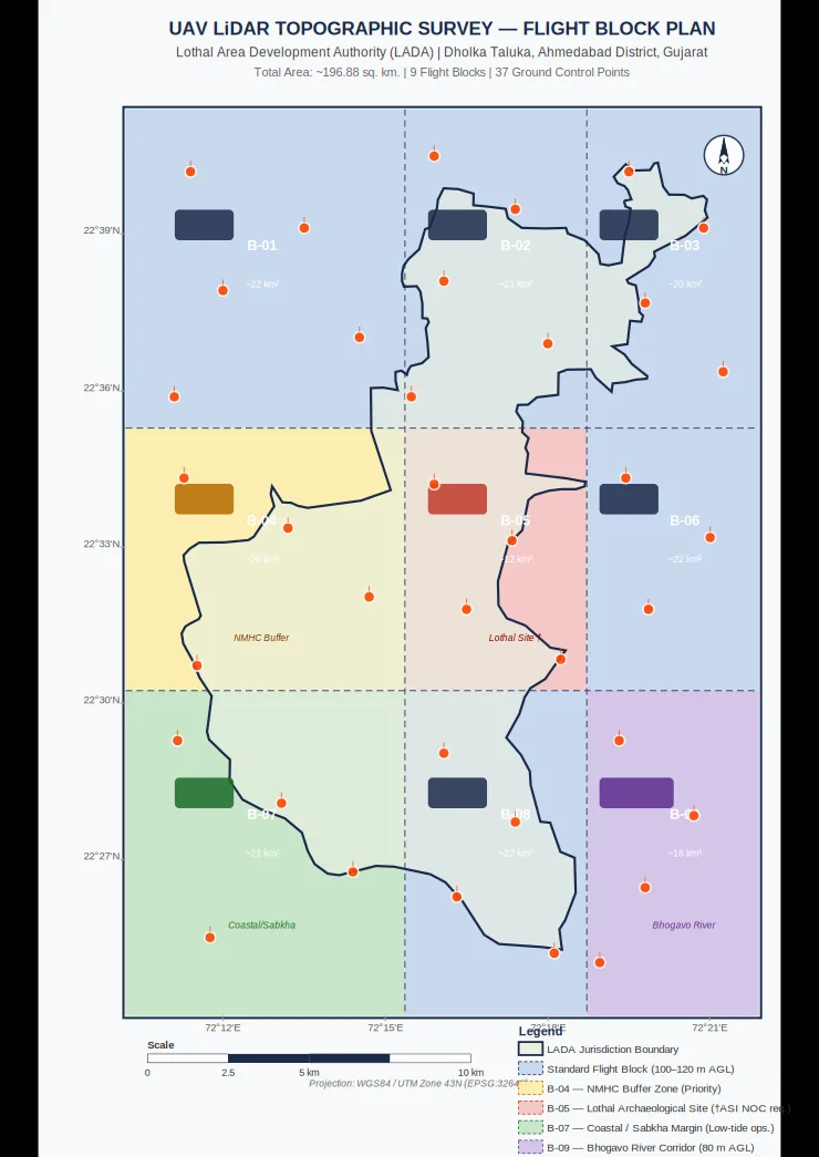
247 sq km surveyed in blocks and merged into one terrain model at 0.04 m RMSE.
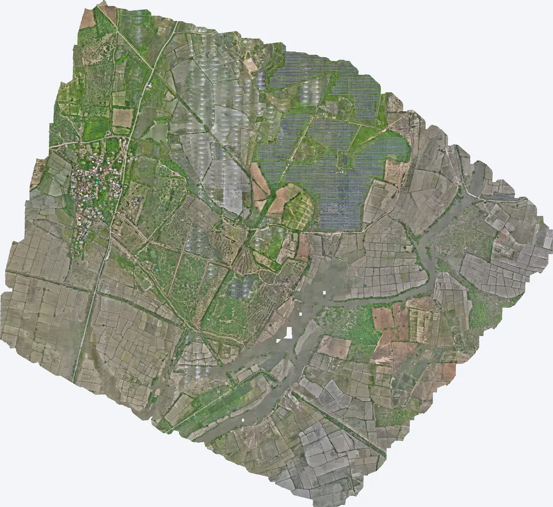
1,416 acres surveyed at 153 ground points per m² for layout planning.
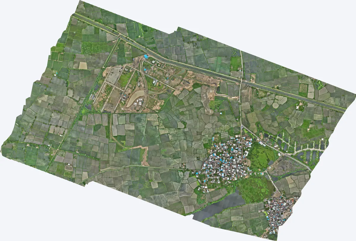
550 acres with 2.5 cm control accuracy and a 0.8 cm checkpoint.
Our standard is ±5 cm vertical accuracy, checked against DGPS control points. On the 247 sq km Lothal survey the RMSE was 0.04 m.
Yes. Part of each laser pulse passes through gaps in the canopy and reaches the ground, which is then separated from vegetation in processing.
The minimum order is 200 acres. Smaller sites can be quoted case by case.
Yes. DGPS ground control (5–6 points per sq km) is included in the price.
Send the site location (KMZ or Google Maps pin), the area and the outputs you need. We reply with a method, a price and a timeline.