
TerraX surveyed 1,141 acres at Agol in Kadi taluka for a developer planning a horizontal development.
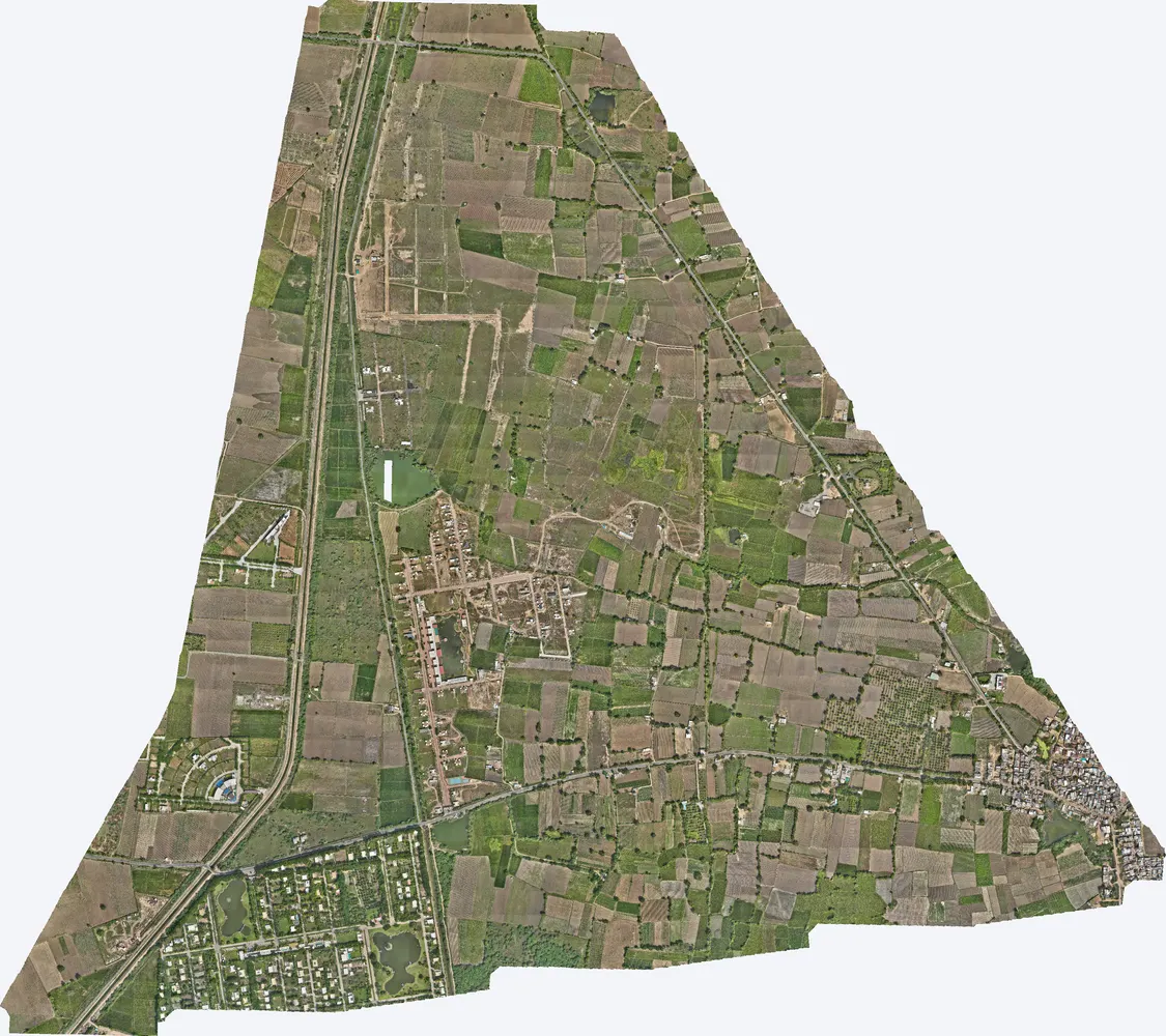
| Location | Agol, Kadi taluka, Mehsana district, Gujarat |
|---|---|
| Client type | Developer |
| Purpose | Survey for proposed horizontal development |
| Area | 4.62 sq km (1,141 acres) |
| Survey | Drone LiDAR with RGB camera, 4 flights |
| Terrain | Surface heights between about 39 m and 48 m |
| Outputs | Orthophoto, DSM, DTM, contours, classified point cloud |
The site has a gentle slope of a few metres across more than a thousand acres. Such small differences decide drainage and road levels, and are not visible on maps.
Four flights covered the site with 194 points per m², and the terrain model was built for the full area.
Orthophoto, DSM, DTM, contours and the classified point cloud, in WGS 84 / UTM with EGM2008 heights, ready for CAD and GIS.
The developer used the terrain model to plan the layout, drainage and road levels.

Images from the TerraX survey report for this project. Click an image to open it full size.
Yes. This site is in Mehsana district; we work across India.
DWG and DXF for CAD, SHP and GeoTIFF for GIS, LAS for point clouds, and PDF maps.
Send the site location (KMZ or Google Maps pin), approximate area and what you need the survey for. We reply with a method, a price and a timeline.