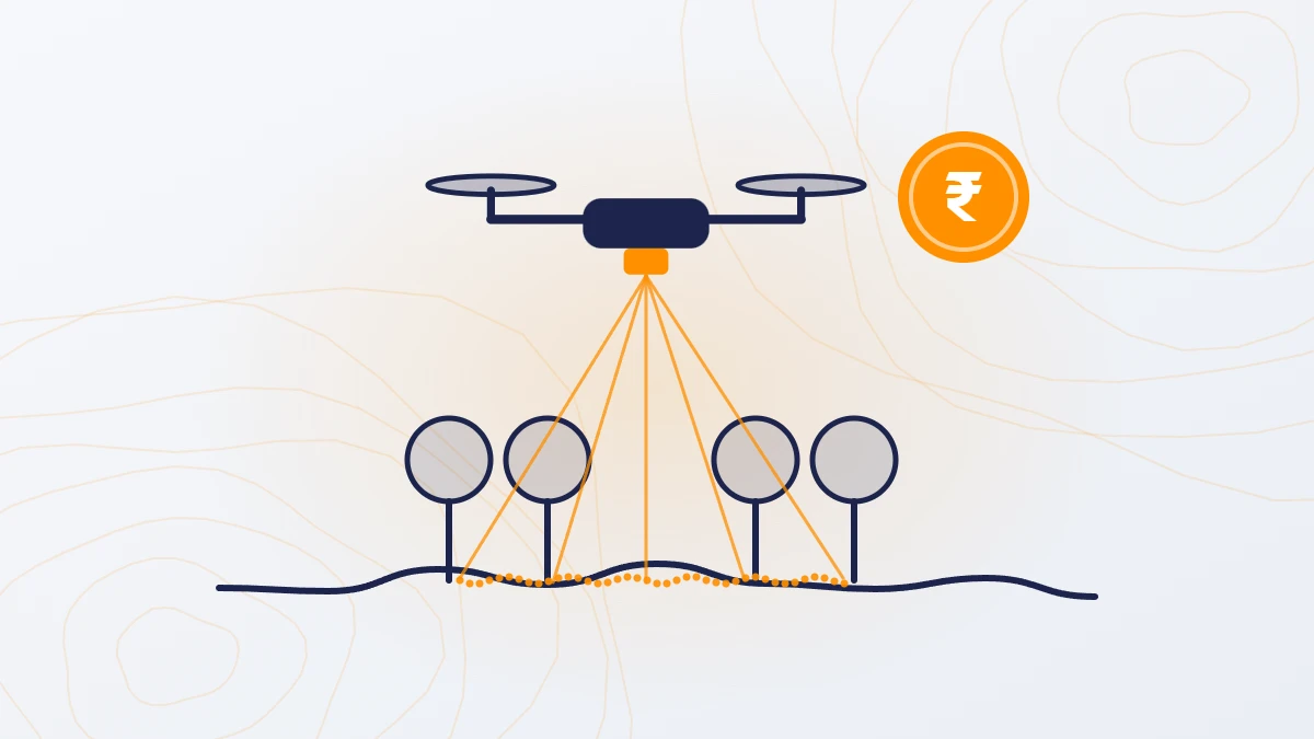
Quick answer: A DSM (digital surface model) shows the top surface: ground plus trees, buildings and other objects. A DTM (digital terrain model) shows the bare ground with those objects removed. DEM (digital elevation model) is a general term, most often used for bare ground. Use the DTM for drainage, grading, earthwork and flood studies. Use the DSM for building and tree heights, shading and line of sight.
What is a DSM?
A DSM records the height of whatever is on top: tree canopy, roofs, vehicles, stockpiles and the ground where it is open. It looks like the site seen from above, in 3D.
What is a DTM?
A DTM records only the ground. Trees, buildings and other objects are removed, and the ground beneath them is measured or filled in. Contours and spot levels for design come from the DTM.
What is a DEM?
DEM is a broad term for any height model. In practice, many people use it to mean a bare-ground model, the same as a DTM. When a tender or drawing asks for a DEM, check whether they mean bare ground or top surface.
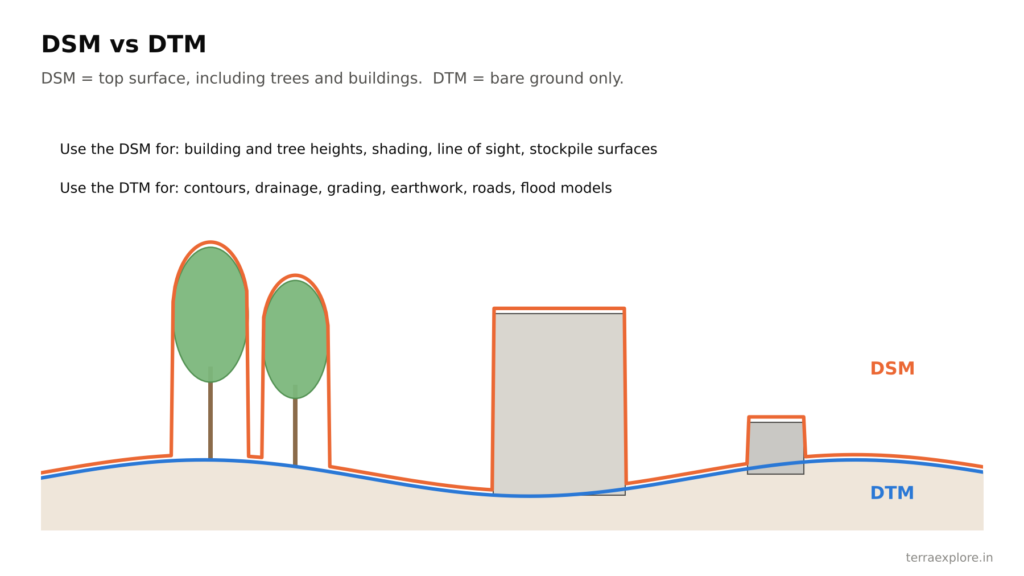
DTM vs DSM at a glance
| DSM | DTM | |
|---|---|---|
| Shows | Ground plus trees, buildings, objects | Bare ground only |
| Use for | Building and tree heights, solar shading, line of sight, volume of stockpiles | Contours, drainage, grading, earthwork, roads, flood models |
| From a camera survey | Measured | Estimated where vegetation hides the ground |
| From a LiDAR survey | Measured | Measured, including under vegetation |
Which one do you need?
| Project | Use |
|---|---|
| Layout, grading and earthwork | DTM |
| Stormwater drainage and flood study | DTM |
| Road, canal or pipeline design | DTM |
| Solar plant layout | DTM for grading and drainage; DSM for shading from trees and structures |
| Building heights and urban planning | DSM |
| Stockpile volumes | DSM (stockpile surface) compared with a base surface |
Why LiDAR gives a better DTM
A camera survey can only see the top surface. Where trees or crops cover the ground, software removes them and estimates the ground below. LiDAR pulses reach the ground through gaps in the leaves, so the DTM is measured, not estimated. On land with any vegetation, this is the main reason to choose LiDAR.

Every TerraX drone survey includes both the DTM and the DSM at no extra cost, along with contours, orthophoto and the point cloud.
Frequently asked questions
What is the difference between DTM and DSM?
A DSM shows the top surface, including trees and buildings. A DTM shows only the bare ground.
Is a DEM the same as a DTM?
Often, yes. DEM is a general term for a height model, and many people use it to mean bare ground. Check what the tender or client means before ordering.
Which model is used for contours?
Contours for design are made from the DTM, because they must show the ground, not the tops of trees or roofs.
Can a camera drone survey make a DTM?
Yes, but where vegetation hides the ground, the DTM is estimated by software. A LiDAR survey measures the ground through gaps in the vegetation.
Our service for this
Contour Mapping and Terrain Modelling →GIS Data Processing and Analytics →
Related case studies
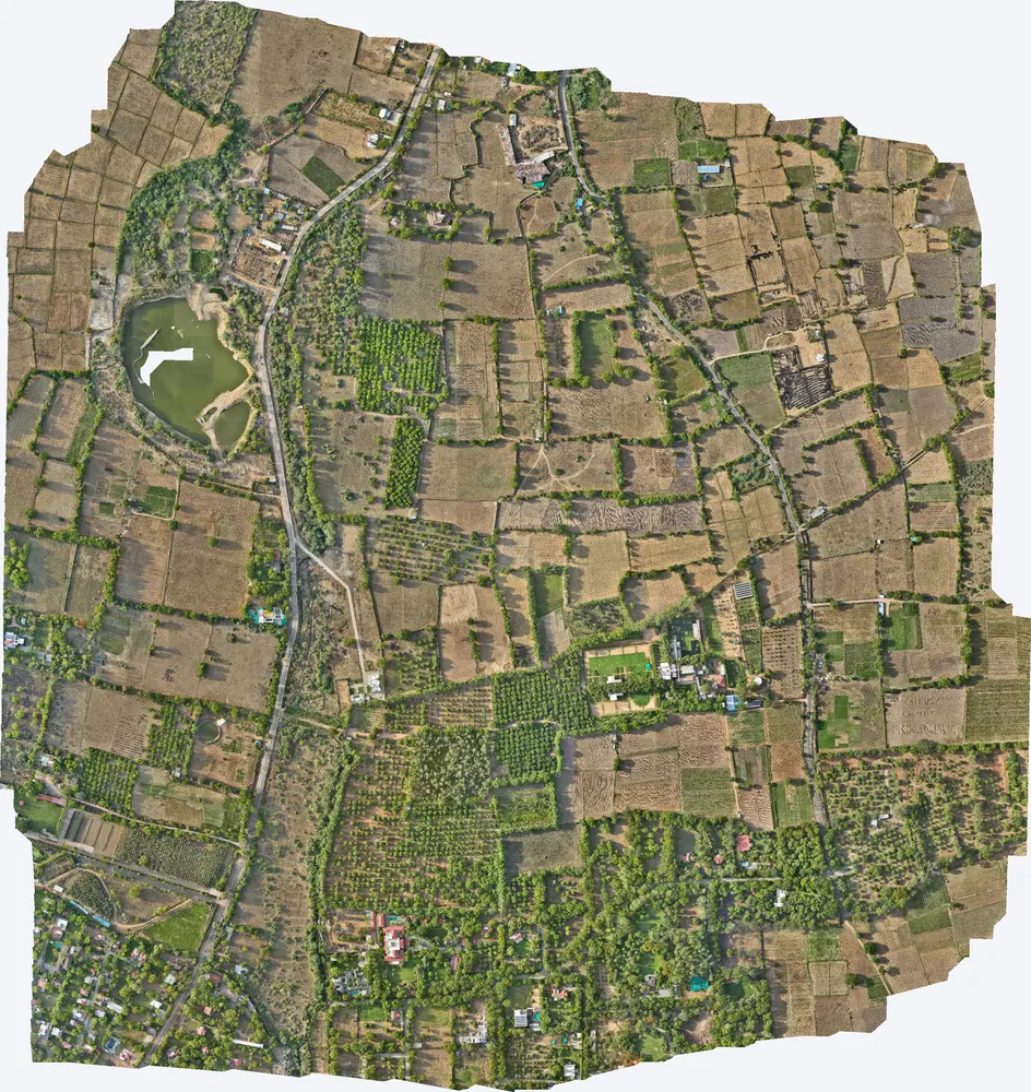
Kharawala, Sanand
TerraX mapped 531 acres around a private residence at Kharawala near Sanand to find the natural drains and the outfall point, so the owner could design drainage that also recharges groundwater.
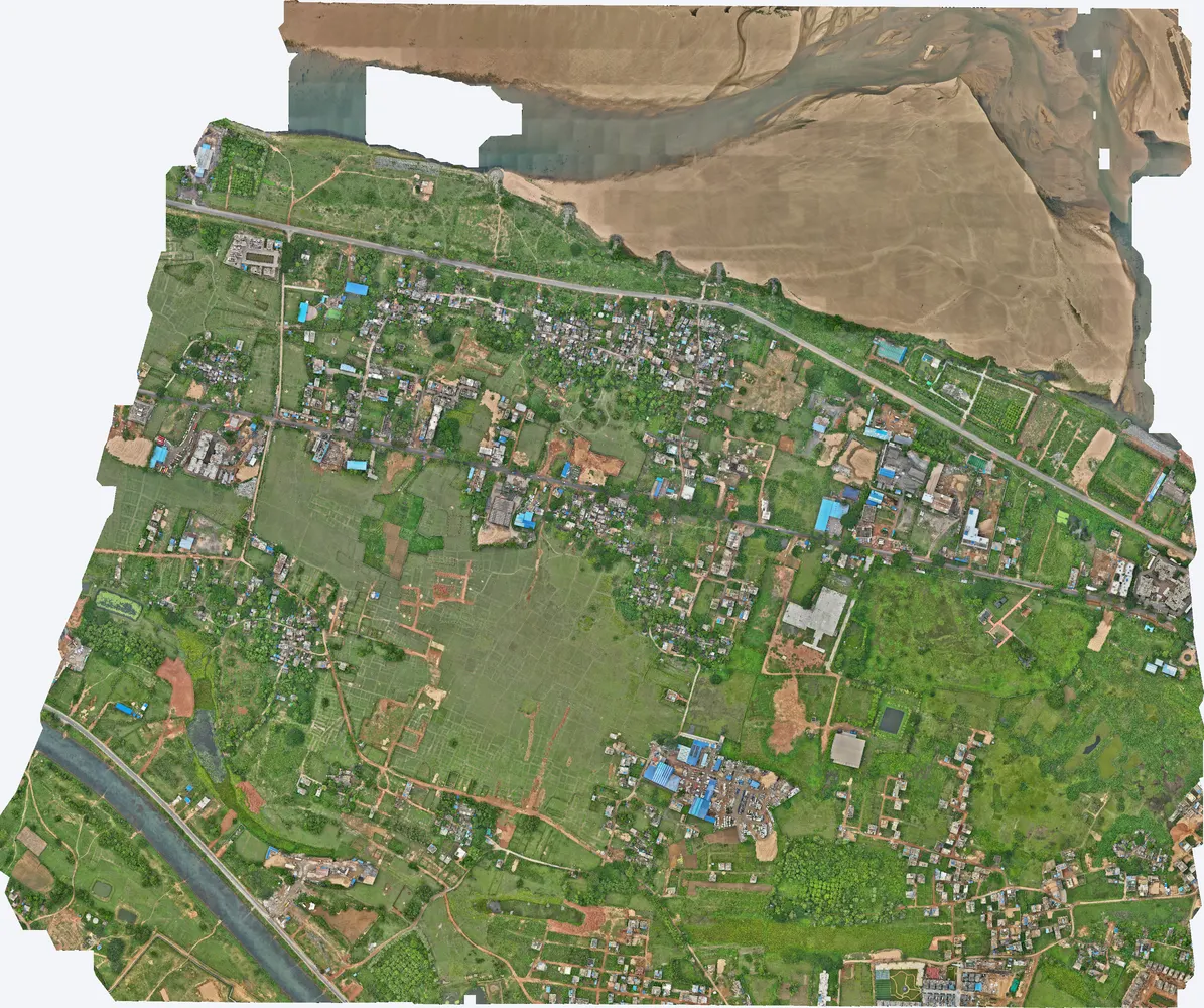
Cuttack, Odisha
A government department asked TerraX to test whether drone LiDAR could find illegal construction on government land. The pilot covered three villages near Cuttack, and its results were used to plan a much larger programme.
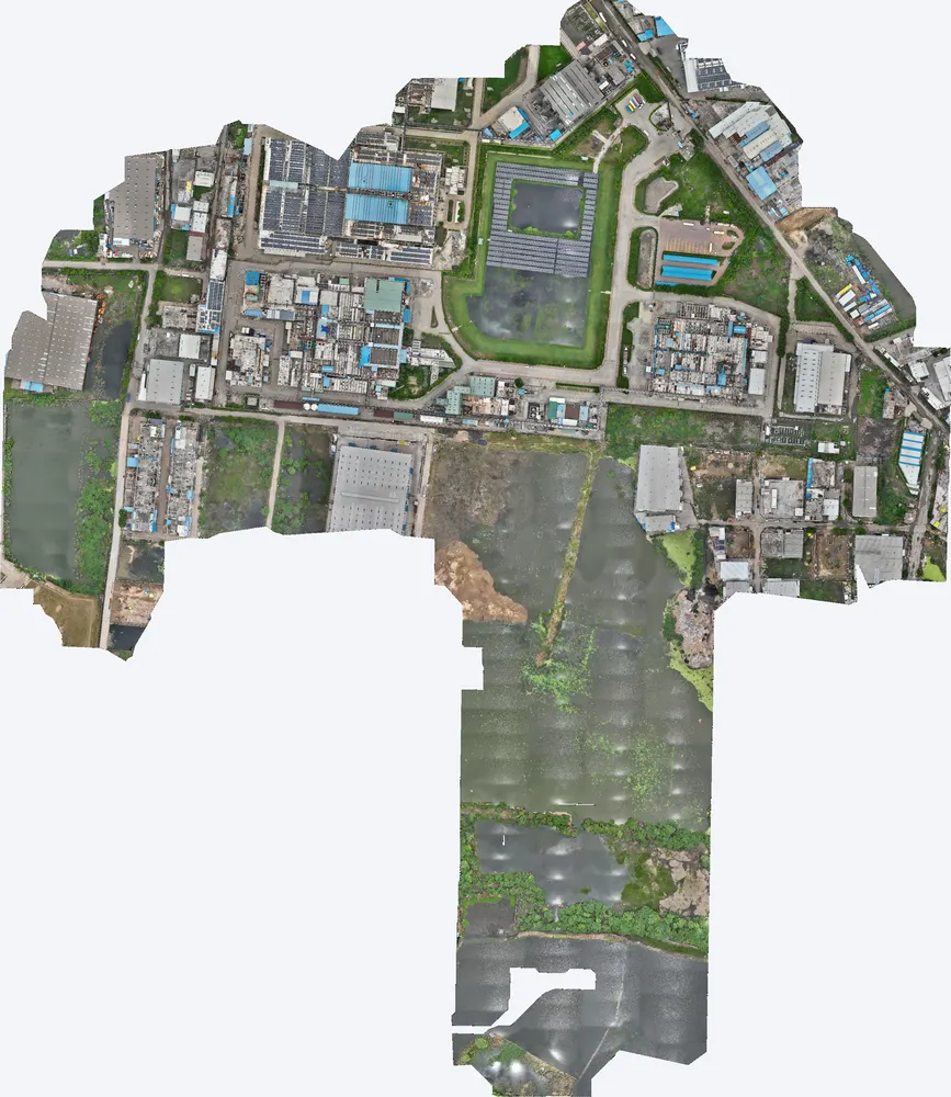
Industrial plant near Sanand
A manufacturing plant near Sanand used a TerraX LiDAR survey to understand how flood water reaches the site, protect its buildings, and work out its flood insurance cover on measured data.
Related guides
Get a quote
Send your KML file, site area, purpose and the outputs you need to Anjali Tripathi. See also: LiDAR vs Photogrammetry and Topographic Survey Cost in India.
Contact: Anjali Tripathi · Phone: +91 63546 68494 · Email: contact@terraexplore.in · Website: terraexplore.in
About TerraX: TerraX (TerraExplore) is a drone LiDAR and survey company based in Ahmedabad, working across India. Flying, DGPS ground control and data processing are all done by our in-house team of certified pilots and processing staff. See our services or send an enquiry.