Quick answer: A well-controlled drone survey is accurate to about ±5 cm in height. Accuracy is proved by comparing the survey with checkpoints measured on the ground by DGPS, and reporting the error as RMSE. On a 247 sq km TerraX LiDAR project, the RMSE was 0.04 m. Always ask for the checkpoint report, not just the accuracy claim.
What does ±5 cm accuracy mean?
It means the heights in the survey are within about 5 cm of the true ground height. It refers to vertical accuracy: the level of the ground. Ask your provider for horizontal accuracy as well, since it is a separate figure.
There are two kinds of accuracy:
- Absolute accuracy: how close the survey is to true coordinates and levels, such as mean sea level. This matters when the survey must match other drawings or a benchmark.
- Relative accuracy: how correct the survey is within itself, such as the slope between two points. This matters for drainage and grading.
A good survey needs both.
What is RMSE?
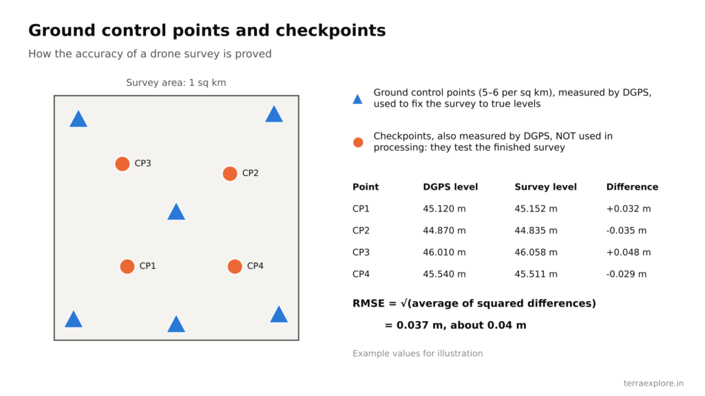
RMSE (root mean square error) is the standard way to report survey accuracy. The surveyor compares the survey height with the measured height at each checkpoint, squares each difference, takes the average, and then the square root. An RMSE of 0.04 m means the survey heights typically differ from the checkpoint heights by about 4 cm.
What controls the accuracy of a drone survey?
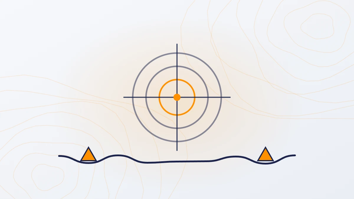
- Ground control points. Marked points on the ground, measured with DGPS, used to fix the survey to true coordinates. TerraX uses 5–6 per square km.
- Checkpoints. Separate DGPS points that are not used in processing. They show the real error of the finished survey.
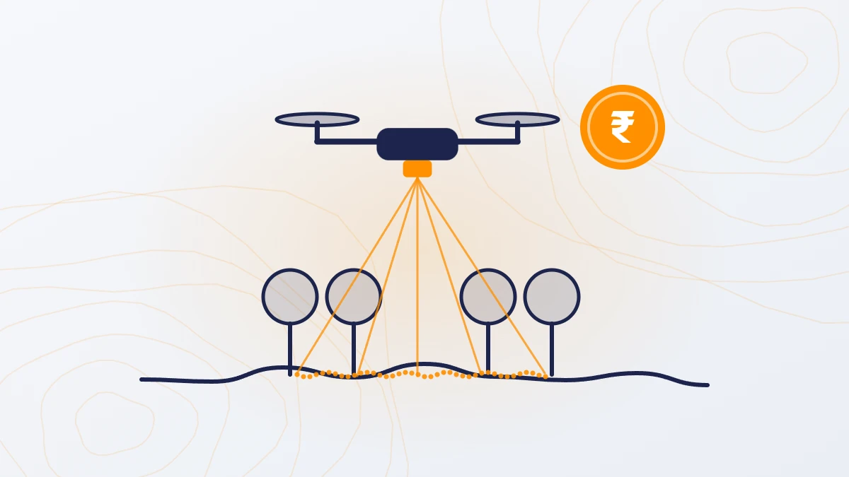
- Sensor and flight plan. Flight height, speed and overlap decide how much detail is recorded. LiDAR records 200–400 points per square metre.
- Ground cover. A camera cannot see the ground under vegetation. LiDAR can, through gaps in the leaves.
- Processing. Point classification and quality checks remove noise and separate ground from trees and buildings.
How to check the accuracy of a survey you receive
- Ask for the checkpoint report. It should list each checkpoint, its measured height, the survey height and the difference, with the RMSE.
- Check that checkpoints were independent. They must not be the same points used to control the survey.
- Check a known benchmark. Compare the survey level at a benchmark or a known structure with its published level.
- Do a few spot checks. Measure a few points on site with DGPS and compare.
- Look at drains and edges. A good survey shows drain bottoms and bank tops clearly, not smoothed out.

Questions to ask before you hire
- What height accuracy will you commit to in writing?
- How many ground control points will you use, and how will they be measured?
- Will you give a checkpoint report with RMSE?
- Do you process the data yourselves, or send it to a third party?
Frequently asked questions
How accurate is a drone survey?
A drone survey with DGPS ground control is accurate to about ±5 cm in height. On a 247 sq km TerraX LiDAR project, the measured RMSE was 0.04 m.
How many ground control points does a drone survey need?
TerraX uses 5–6 DGPS ground control points per square km, plus separate checkpoints to test the result.
Is a LiDAR survey more accurate than a camera survey?
On open ground, both reach about ±5 cm in height. Under vegetation, only LiDAR gives measured ground levels.
How can I check if my survey is accurate?
Ask for a checkpoint report with RMSE, make sure the checkpoints were not used in processing, and compare a few levels with a known benchmark or DGPS spot checks.
Our service for this
Drone LiDAR Topographic Survey →
Related case studies
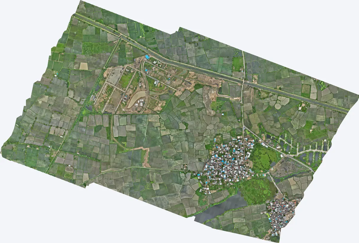
Moti Devti, Sanand
TerraX surveyed 550 acres at Moti Devti near Sanand for a developer planning a horizontal development.
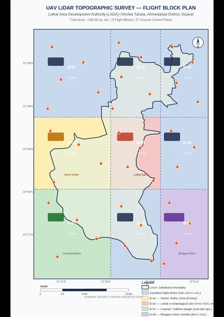
Lothal heritage region
TerraX surveyed 247 sq km of the Lothal heritage region with drone LiDAR, merged every flight block into one seamless terrain model, and gave the master plan team measured ground levels at 0.04 m accuracy.
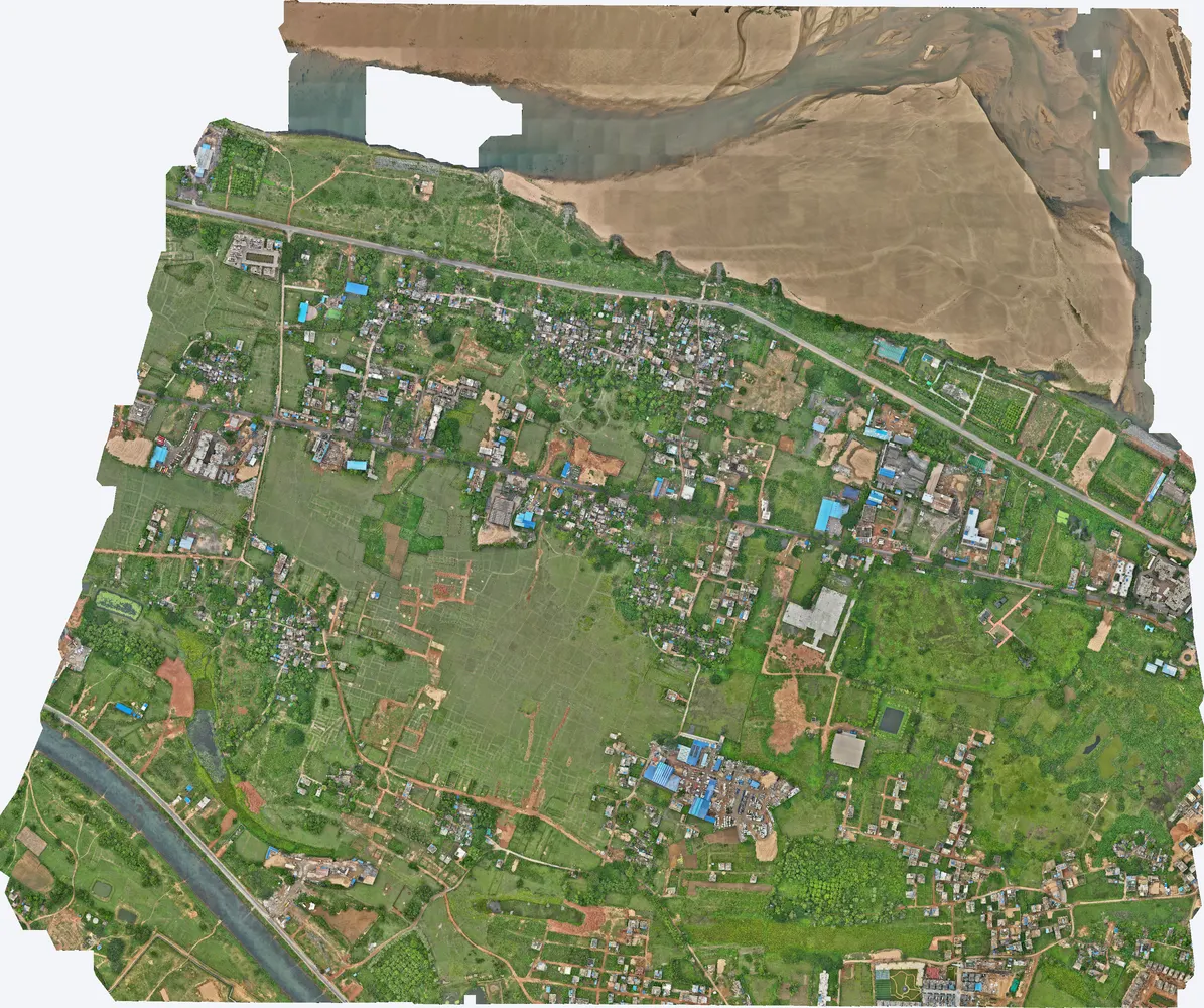
Cuttack, Odisha
A government department asked TerraX to test whether drone LiDAR could find illegal construction on government land. The pilot covered three villages near Cuttack, and its results were used to plan a much larger programme.
Related guides
Get a quote
Send your KML file, site area, purpose and the accuracy you need to Anjali Tripathi. See also: Drone Survey vs Traditional Survey and How to Choose a Drone Survey Company.
Contact: Anjali Tripathi · Phone: +91 63546 68494 · Email: contact@terraexplore.in · Website: terraexplore.in
About TerraX: TerraX (TerraExplore) is a drone LiDAR and survey company based in Ahmedabad, working across India. Flying, DGPS ground control and data processing are all done by our in-house team of certified pilots and processing staff. See our services or send an enquiry.