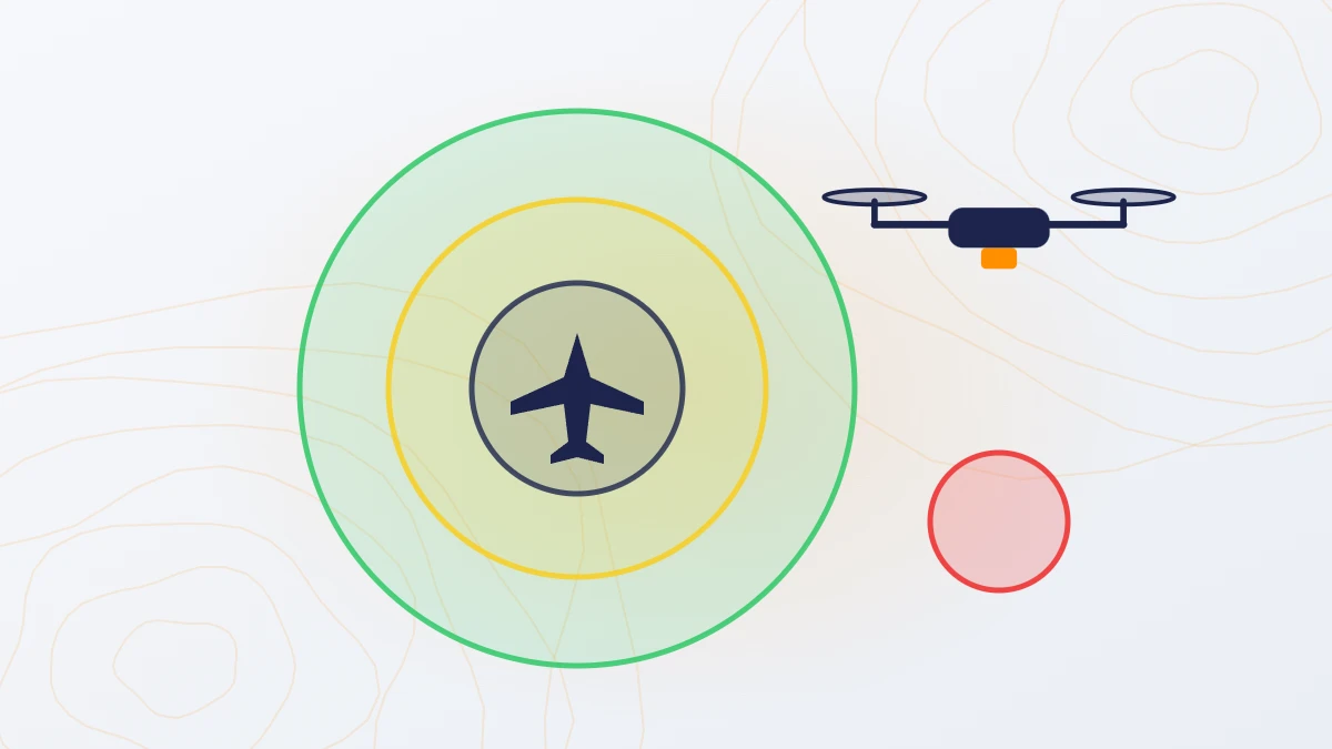
Quick answer: Under the Drone Rules, 2021, permission depends on the airspace zone shown on the Digital Sky map. Green zones need no permission. Yellow zones need permission from air traffic control. Red zones need permission from the Central Government. The drone must be registered with a UIN, and the pilot must hold a Remote Pilot Certificate.
What are the green, yellow and red zones?
| Zone | Where | Permission needed |
|---|---|---|
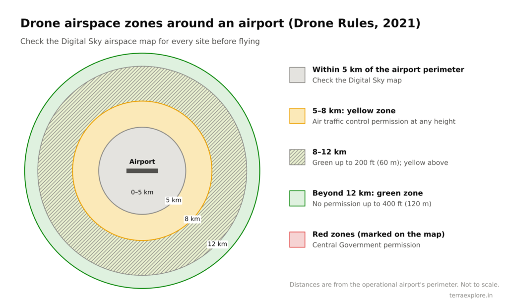
| Green | Up to 400 ft (120 m) above ground in areas not marked red or yellow. Up to 200 ft (60 m) in the band 8–12 km from an operational airport’s perimeter | None |
| Yellow | Above the green limits; above 200 ft in the 8–12 km band; above ground level in the 5–8 km band from an airport perimeter | Air traffic control authority (such as AAI, IAF, Navy or HAL) |
| Red | No-drone zones marked on the map | Central Government |
Zones are shown on the airspace map on the Digital Sky platform run by DGCA. The zone must be checked before every flight, because maps can change.
What does the survey company need?
- Registered drone: each drone is registered on Digital Sky and carries a Unique Identification Number (UIN).
- Type certificate: the drone model must have a type certificate.
- Certified pilot: the pilot must hold a Remote Pilot Certificate from a DGCA-authorised training organisation. It is valid for 10 years.
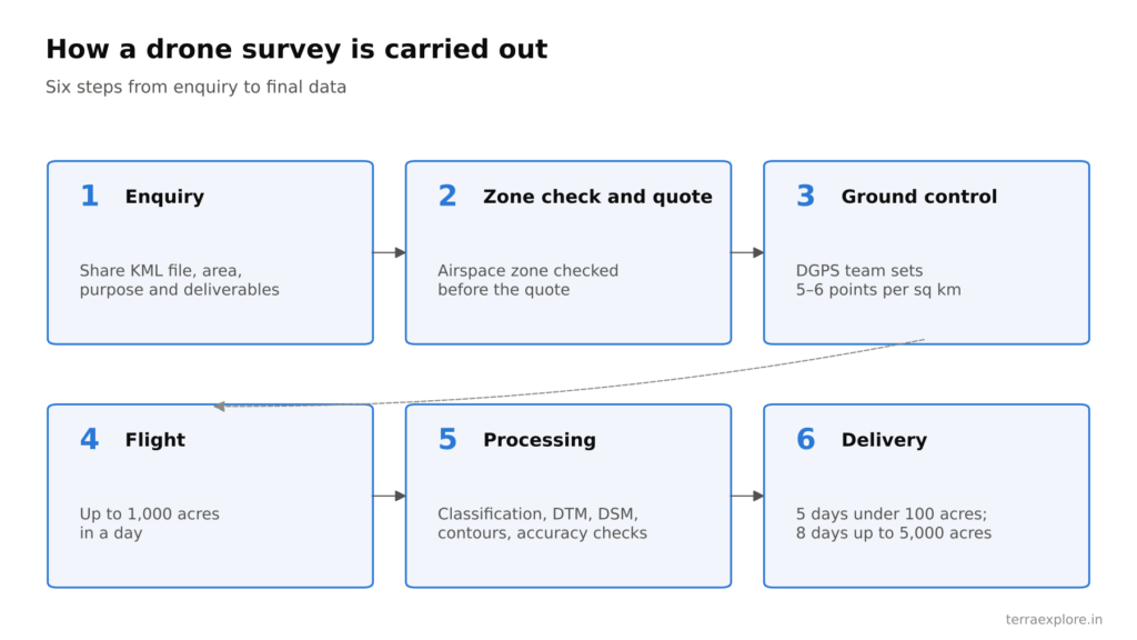
- Zone check and permission: the company checks the zone and applies for any permission needed.
Under the Drone Rules, 2021, the maximum penalty for breaking the rules is ₹1 lakh.
What do you need to do as the client?
- Share a KML file of the site. This lets the survey company check the zone before quoting. TerraX checks the zone before every quote.
- Green and yellow zones: nothing more. TerraX handles these.
- Red zones: support the application. The Central Government permission may need project details and letters from the site owner or the authority. Plan extra time for this.
- Site access: arrange entry for the crew and space for ground control points.
Is the law changing?
In September 2025, the Ministry of Civil Aviation released the draft Civil Drone (Promotion and Regulation) Bill, 2025. It would replace the Drone Rules, 2021, keep the green, yellow and red zones, make third-party insurance compulsory and bring stricter penalties. As of mid-2026 it was still a draft. Check the current status before relying on it.
Frequently asked questions
Do I need permission for a drone survey on my own land?
It depends on the airspace zone, not on who owns the land. Green zones need no permission; yellow zones need air traffic control permission; red zones need Central Government permission.
How do I know which zone my site is in?
The zone is shown on the airspace map on DGCA’s Digital Sky platform. Send your KML file to the survey company and ask them to check it before quoting.
Who applies for the permission?
The survey company applies. TerraX handles green and yellow zones. For red zones, the client’s support is needed for the Central Government application.
Does a drone pilot need a licence in India?
Yes. A pilot flying a survey drone must hold a Remote Pilot Certificate issued through Digital Sky after training at a DGCA-authorised organisation.
Our service for this
Drone LiDAR Topographic Survey →
Related case studies
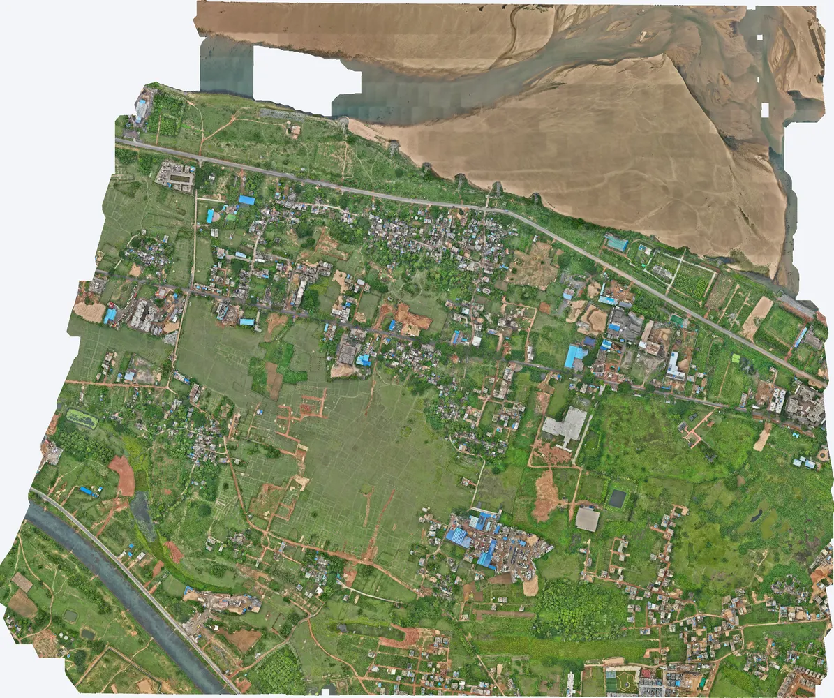
Cuttack, Odisha
A government department asked TerraX to test whether drone LiDAR could find illegal construction on government land. The pilot covered three villages near Cuttack, and its results were used to plan a much larger programme.
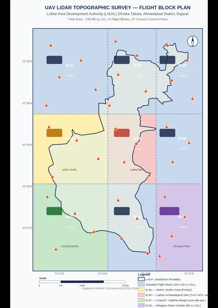
Lothal heritage region
TerraX surveyed 247 sq km of the Lothal heritage region with drone LiDAR, merged every flight block into one seamless terrain model, and gave the master plan team measured ground levels at 0.04 m accuracy.
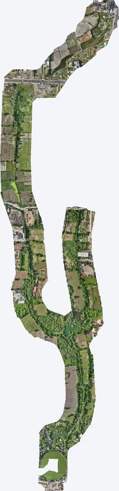
Santhal
For a government pond interlinking project, TerraX surveyed the drain corridor at Santhal with drone LiDAR, giving the engineers the levels they needed for alignment, bed slope and earthwork design.
Related guides
Get a quote
Send your KML file, site area and purpose to Anjali Tripathi. We check the airspace zone before sending the quote. See also: Drone Survey Cost in India and How to Choose a Drone Survey Company.
Contact: Anjali Tripathi · Phone: +91 63546 68494 · Email: contact@terraexplore.in · Website: terraexplore.in
About TerraX: TerraX (TerraExplore) is a drone LiDAR and survey company based in Ahmedabad, working across India. Flying, DGPS ground control and data processing are all done by our in-house team of certified pilots and processing staff. See our services or send an enquiry.
Sources: The Drone Rules, 2021 – PIB backgrounder; Draft Civil Drone (Promotion and Regulation) Bill, 2025 – Ministry of Civil Aviation