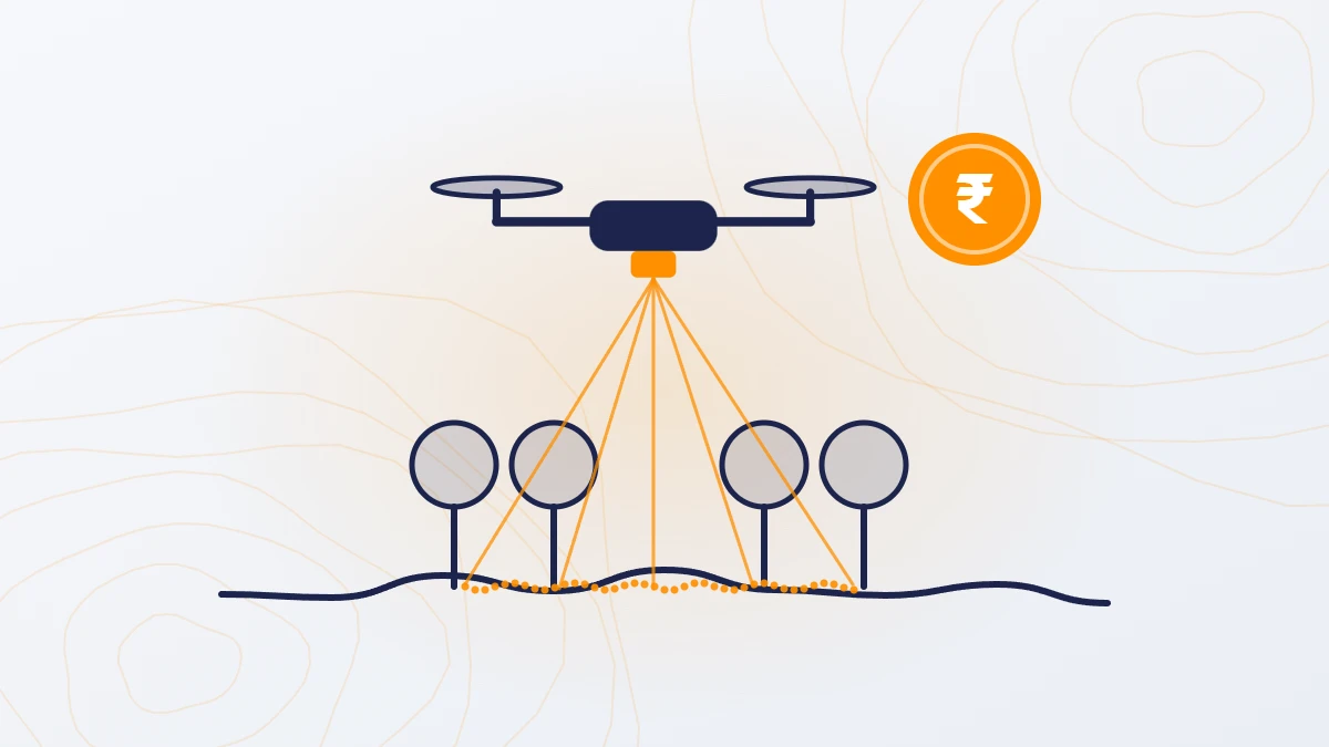
Quick answer: A topographic survey in India costs ₹2,500–10,000 per acre by total station or DGPS, ₹100–500 per acre by drone camera survey, and ₹160–1,000 per acre by drone LiDAR, for sites of 200 acres or more. Small plots surveyed on the ground cost more per acre. GST at 18% is extra.
What is a topographic survey?
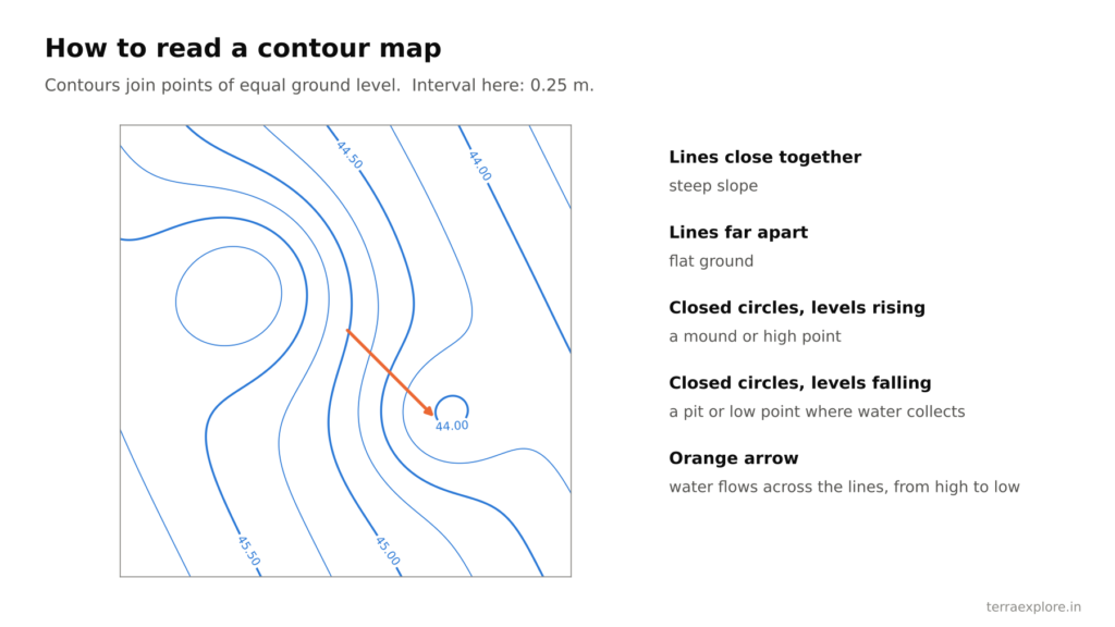
A topographic survey records the levels and features of the ground. The result is a drawing with spot levels, contours and features such as roads, drains and buildings. Engineers use it to design layouts, roads, drainage, solar plants and earthwork.
How much does a topographic survey cost?
| Method | Cost per acre (before GST) | Best for | Limits |
|---|---|---|---|
| Total station or DGPS | ₹2,500–10,000 on larger sites; ₹15,000 or more on small plots | Small plots, boundary marking, finished levels, inside buildings | Slow; one point every few metres |
| Drone camera survey | ₹100–500 | Open ground, base maps, visual inspection | Cannot see the ground under trees or crops |
| Drone LiDAR survey | ₹160–1,000 | Accurate ground levels, sites with vegetation, drainage and flood work | Minimum order of 200 acres |
Total station and DGPS figures are rates published by Indian survey firms in 2025–26. Drone rates are TerraX rates for sites of 200 acres or more. For a full breakdown by area, see Drone Survey Cost in India.

What affects topographic survey cost?
- Area. Per-acre rates fall as the site grows. Drone surveys have a 200-acre minimum.
- Method. Ground survey costs the most per acre on large sites; LiDAR costs about 1.5–2 times a drone camera survey.
- Ground cover. Trees, crops and scrub slow a ground crew and block a camera. LiDAR measures the ground through gaps in the vegetation.
- Feature mapping. Mapping buildings, trees, poles, roads and drains is charged extra.
- Site access and weather. Difficult sites mean more days on site and higher boarding and lodging costs.
- Travel. For TerraX, ₹20 per km outside Ahmedabad.
What do you get with a topographic survey?
A TerraX drone topographic survey includes, at no extra cost:
- AutoCAD drawing with spot levels and contours
- Contours at 0.25 m or any interval you need
- Orthophoto, DSM and DTM
- Point cloud
- Levels on mean sea level (MSL), or tied to your local benchmark
Features such as buildings, trees, poles, roads and drains are added to the drawing on request, at extra cost.
Topographic survey cost by project type
The estimates below apply TerraX rates to typical project sizes. The final price depends on site access, complexity and purpose.
| Project | Typical size | Method | Estimated cost (before GST) |
|---|---|---|---|
| Housing layout or TP scheme | 500 acres | Drone LiDAR | ₹0.8–3.5 lakh |
| Industrial plot | 50 acres | Ground survey, or drone LiDAR billed at 200 acres | Ground: ₹1.25–5 lakh. Drone: ₹0.6–2 lakh |
| Solar farm | 1,000 acres | Drone LiDAR | ₹2–5 lakh |
| Road DPR | 50 km, 150 m wide | Drone LiDAR | ₹2.5–5 lakh |
| Canal | 10 km, 150 m wide | Drone LiDAR | ₹0.5–1 lakh |
| Flood study | 5,000 acres | Drone LiDAR | ₹8–15 lakh |
Which survey method should you choose?
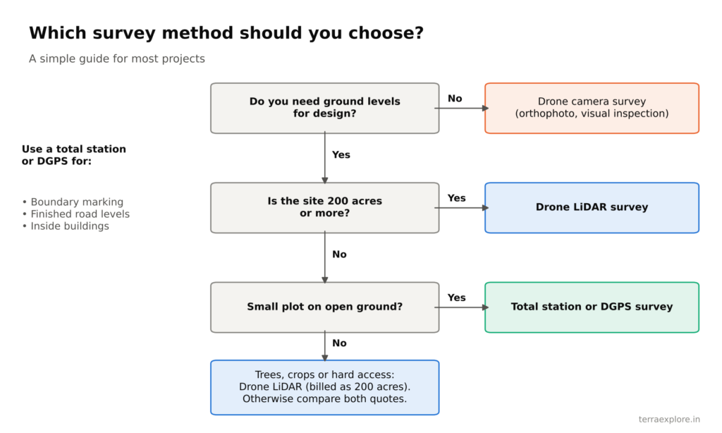
| Your situation | Method |
|---|---|
| Plot of a few acres on open ground | Total station or DGPS |
| Boundary marking, finished road levels, work inside buildings | Total station |
| Site of 200 acres or more that needs ground levels | Drone LiDAR |
| Trees, crops or hard-to-reach ground, any size | Drone LiDAR |
| Feasibility study or visual base map only | Drone camera survey, or ground survey for small sites |
| Site between a few acres and 200 acres | Compare the ground survey quote with the drone minimum charge (200 acres) |
Common mistakes when ordering a topographic survey
- Not asking for the accuracy in writing. Ask what height accuracy the survey will meet.
- Not asking how many ground control points will be used. For a drone survey, expect about 5–6 per square km.
- Not asking for a survey report with an independent check. The report should compare the survey with checkpoints that were not used to process it.
- Not stating the purpose. The purpose decides the method, the contour interval and the deliverables.
- Not checking who does the work. Some companies fly the drone and send the data to a third party to process. This adds delays and coordination errors. Ask whether data capture and processing are done by the company’s own team.
Frequently asked questions
What is the topographic survey cost per acre in India?
₹2,500–10,000 per acre by total station or DGPS on larger sites. By drone, ₹100–500 per acre with a camera and ₹160–1,000 per acre with LiDAR, for sites of 200 acres or more. GST is extra.
What does a contour survey cost?
A contour survey is a topographic survey, so it costs the same. In a TerraX drone survey, contours at any interval from 0.25 m are included at no extra cost.
Is a drone or a total station cheaper for a topographic survey?
For sites of 200 acres or more, a drone survey is much cheaper. For plots of a few acres, a total station or DGPS survey is usually better value.
Are levels given on mean sea level?
Yes. TerraX gives levels on MSL. On request, levels are tied to your local benchmark at no extra cost.
How long does a topographic survey take?
A drone survey delivers final data in 5 days for sites up to 1,000 acres and in 8 days for sites up to 5,000 acres. A ground crew covers about 12–25 acres a day in the field on flat, open land.
Our service for this
Contour Mapping and Terrain Modelling →Drone LiDAR Topographic Survey →
Related case studies
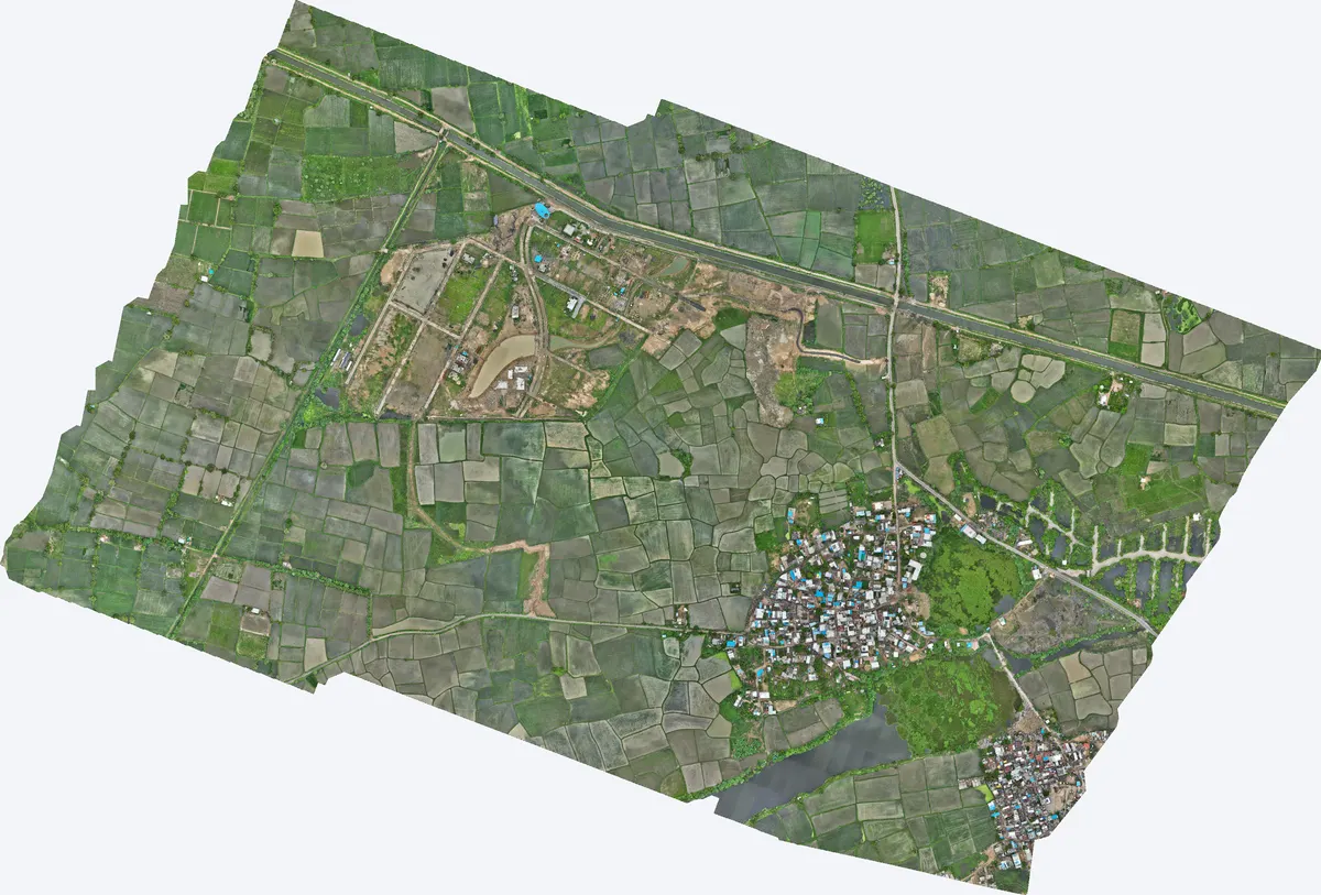
Moti Devti, Sanand
TerraX surveyed 550 acres at Moti Devti near Sanand for a developer planning a horizontal development.
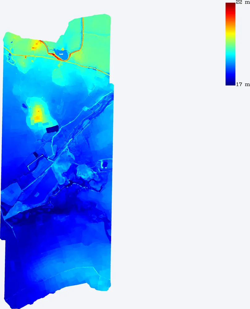
1,099-acre development site near Sanand
TerraX surveyed a 1,099-acre development site near Sanand, including the drain that crosses it, so the developer could plan the layout around the natural drainage.
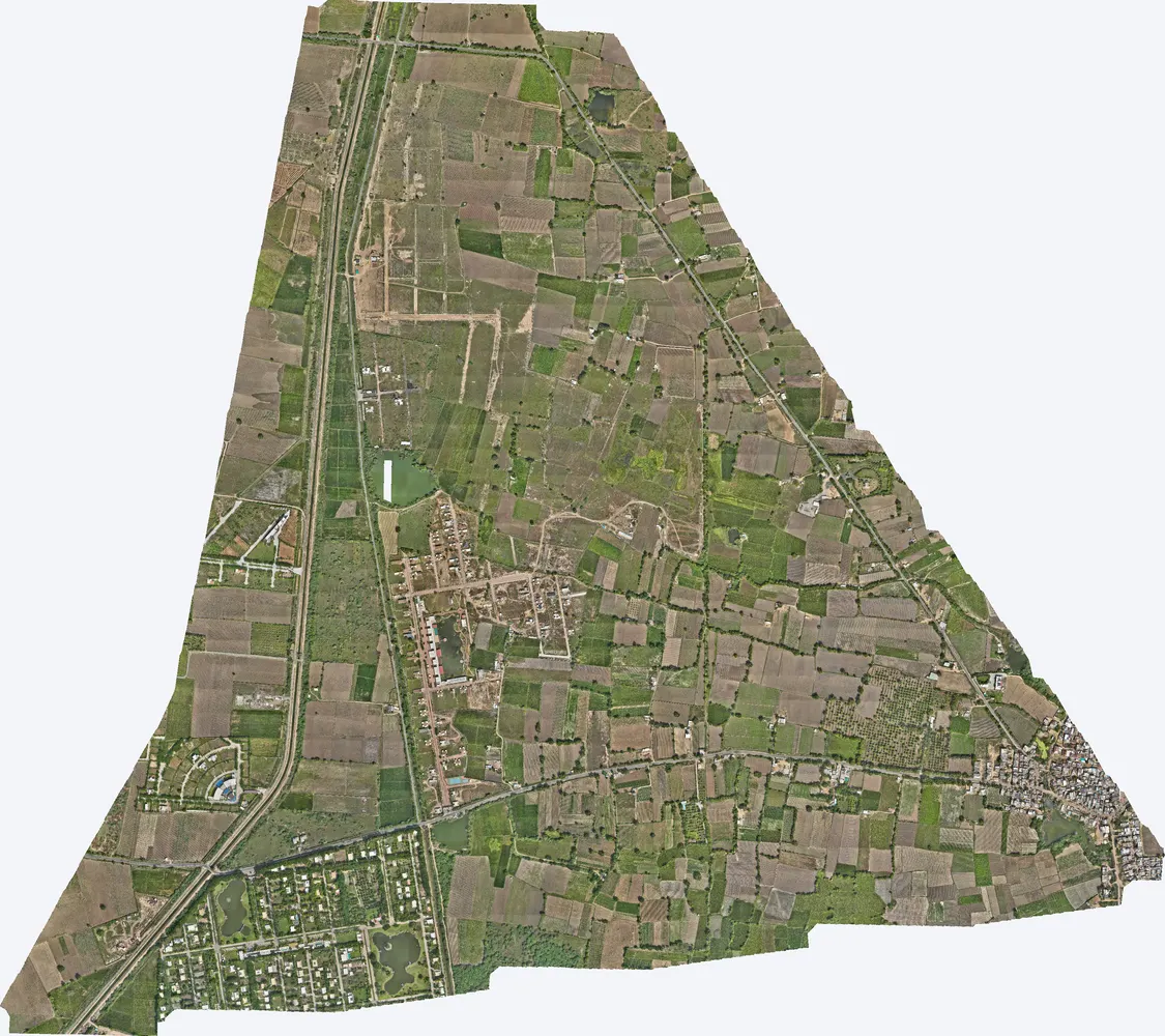
Agol, Kadi
TerraX surveyed 1,141 acres at Agol in Kadi taluka for a developer planning a horizontal development.
Related guides
Get a quote
Send your KML file, site area, purpose and contour interval to Anjali Tripathi. See also: LiDAR Survey Cost in India and Drone Survey vs Traditional Survey.
Contact: Anjali Tripathi · Phone: +91 63546 68494 · Email: contact@terraexplore.in · Website: terraexplore.in
About TerraX: TerraX (TerraExplore) is a drone LiDAR and survey company based in Ahmedabad, working across India. Flying, DGPS ground control and data processing are all done by our in-house team of certified pilots and processing staff. See our services or send an enquiry.