Quick answer: A drone LiDAR survey in India costs ₹160–1,000 per acre for sites of 200 acres or more. A corridor survey costs ₹5,000–10,000 per km for a 150 m wide strip. A 1,000-acre site costs ₹2–5 lakh before GST. LiDAR costs about 1.5–2 times a camera survey and measures ground levels to ±5 cm.
Published guides quote LiDAR at ₹1,500–10,000 per acre. Current rates for sites over 200 acres are much lower. The figures below are TerraX rates for 2026.
How much does a LiDAR survey cost per acre?
| Site area | Total cost (before GST) | Per acre | Per hectare |
|---|---|---|---|
| 200 acres (minimum order) | ₹60,000–2,00,000 | ₹300–1,000 | ₹741–2,471 |
| 500 acres | ₹80,000–3,50,000 | ₹160–700 | ₹395–1,730 |
| 1,000 acres | ₹2,00,000–5,00,000 | ₹200–500 | ₹494–1,236 |
| 5,000 acres | ₹8,00,000–15,00,000 | ₹160–300 | ₹395–741 |

Sites smaller than 200 acres are billed as 200 acres. Within each range, the price depends on site access, the accuracy needed and the deliverables.
How much does a LiDAR survey cost per km?
A LiDAR corridor survey costs ₹5,000–10,000 per km for a strip 150 m wide. One km of a 150 m strip covers about 37 acres (15 hectares).

| Corridor length (150 m wide) | Cost (before GST) |
|---|---|
| 10 km canal or drain | ₹50,000–1,00,000 |
| 50 km road | ₹2,50,000–5,00,000 |
| 100 km pipeline or power line | ₹5,00,000–10,00,000 |
For corridors wider than 150 m, ask for a quote based on area.
Why does LiDAR cost more than a camera survey?
LiDAR costs about 1.5–2 times a camera survey. Three things drive the difference:
- Equipment. A survey-grade LiDAR sensor costs several times more than a survey camera.
- Data volume. LiDAR records 200–400 points per square metre. A 1,000-acre site produces about 0.8–1.6 billion points to process.
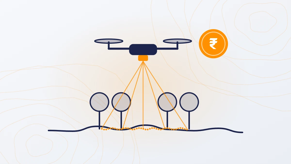
- Processing and checks. Each point is sorted into ground, vegetation, buildings and other classes. The ground surface is then checked against DGPS control points.
The gap has narrowed. Older guides say LiDAR costs 2–3 times a camera survey; newer sensors have brought it down to 1.5–2 times.
| Camera survey | LiDAR survey | |
|---|---|---|
| Cost per acre (200+ acres) | ₹100–500 | ₹160–1,000 |
| Ground levels under trees and crops | Not possible | Yes |
| Height accuracy | ±5 cm on open ground | ±5 cm, including under vegetation |
| Main outputs | Orthophoto, DSM, 3D model | Classified point cloud, DTM, DSM, contours, orthophoto |
| Best for | Visual inspection and site plans | Any work that needs accurate ground levels |

When do you need a LiDAR survey?
Use LiDAR whenever the project needs accurate ground levels. Use a camera survey only when you need images for visual inspection.
LiDAR is the right choice for:
- Solar plants: grading, drainage and pile levels
- Flood, drainage and stormwater studies
- Canals, roads, railways and pipelines
- Power line corridors
- Townships and TP schemes with trees or built-up areas
- Any site with trees, crops or scrub, where a camera cannot see the ground
For open sites under 200 acres, a ground survey with a total station or DGPS is usually better value. LiDAR still makes sense for small sites with dense vegetation or where the ground is hard to reach.
What do you get with a LiDAR survey?
Every TerraX LiDAR survey includes, at no extra cost:
- Classified point cloud (LAS file)
- DTM (bare ground surface) and DSM (surface including trees and buildings)
- Contours at 0.25 m or any interval you need, also as a CAD drawing
- Orthophoto
- Levels on mean sea level (MSL), or tied to your local benchmark
A web viewer is available on request. Feature mapping (buildings, trees, poles, drains) is charged extra.
How accurate is a drone LiDAR survey?
TerraX LiDAR surveys are accurate to ±5 cm in height. On our largest project, 247 sq km (about 61,000 acres), the measured error against DGPS checkpoints was 0.04 m RMSE.
With 200–400 points in every square metre, LiDAR records the actual ground: drain bottoms, small mounds and edges. A ground survey measures one point every few metres and assumes the ground is straight in between. Anything the surveyor does not stand on is missed.

What affects LiDAR survey cost?
- Area or length. The per-acre rate falls as the site grows.
- Site access and weather. Hard-to-reach or harsh sites slow the work and add boarding and lodging costs.
- Airspace zone. Red-zone sites need Central Government permission, which adds time.
- Travel. ₹20 per km outside Ahmedabad; the per-acre rate stays the same across India.
- Feature mapping. Charged separately if needed.
- Repeat surveys. 10–20% discount for repeat surveys of the same site.
TerraX also offers ground-based and mobile laser scanning. Ask for a quote.
Frequently asked questions
What is the LiDAR survey cost per acre in India?
For sites of 200 acres or more, a drone LiDAR survey costs ₹160–1,000 per acre before GST. Larger sites cost less per acre: about ₹160–300 per acre at 5,000 acres.
What is the LiDAR survey cost per km?
₹5,000–10,000 per km for a corridor 150 m wide, before GST.
Is LiDAR worth the extra cost?
Yes, if the project needs accurate ground levels. LiDAR costs only 1.5–2 times a camera survey and gives ground levels under trees and crops, which a camera cannot.
Can LiDAR see through trees?
Laser pulses pass through gaps between leaves and reach the ground. This gives accurate ground levels under trees, crops and scrub.
What point density does a drone LiDAR survey give?
TerraX surveys record 200–400 points per square metre, depending on flight settings and the purpose of the project.
What is the minimum area for a LiDAR survey?
The minimum order is 200 acres. Smaller sites are billed as 200 acres.
How long does a LiDAR survey take?
The drone covers up to 1,000 acres a day. Final data is delivered in 5 days for sites up to 1,000 acres and 8 days for sites up to 5,000 acres.
Our service for this
Drone LiDAR Topographic Survey →
Related case studies
Lothal heritage region
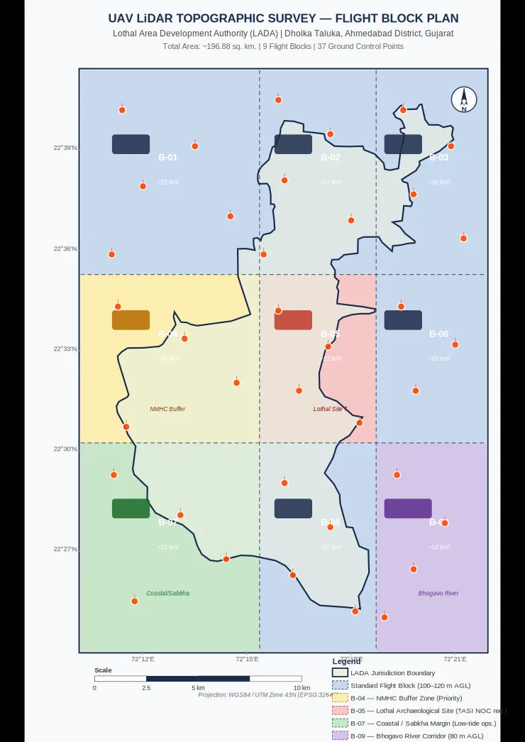
TerraX surveyed 247 sq km of the Lothal heritage region with drone LiDAR, merged every flight block into one seamless terrain model, and gave the master plan team measured ground levels at 0.04 m accuracy.
Shukra project, Sanand
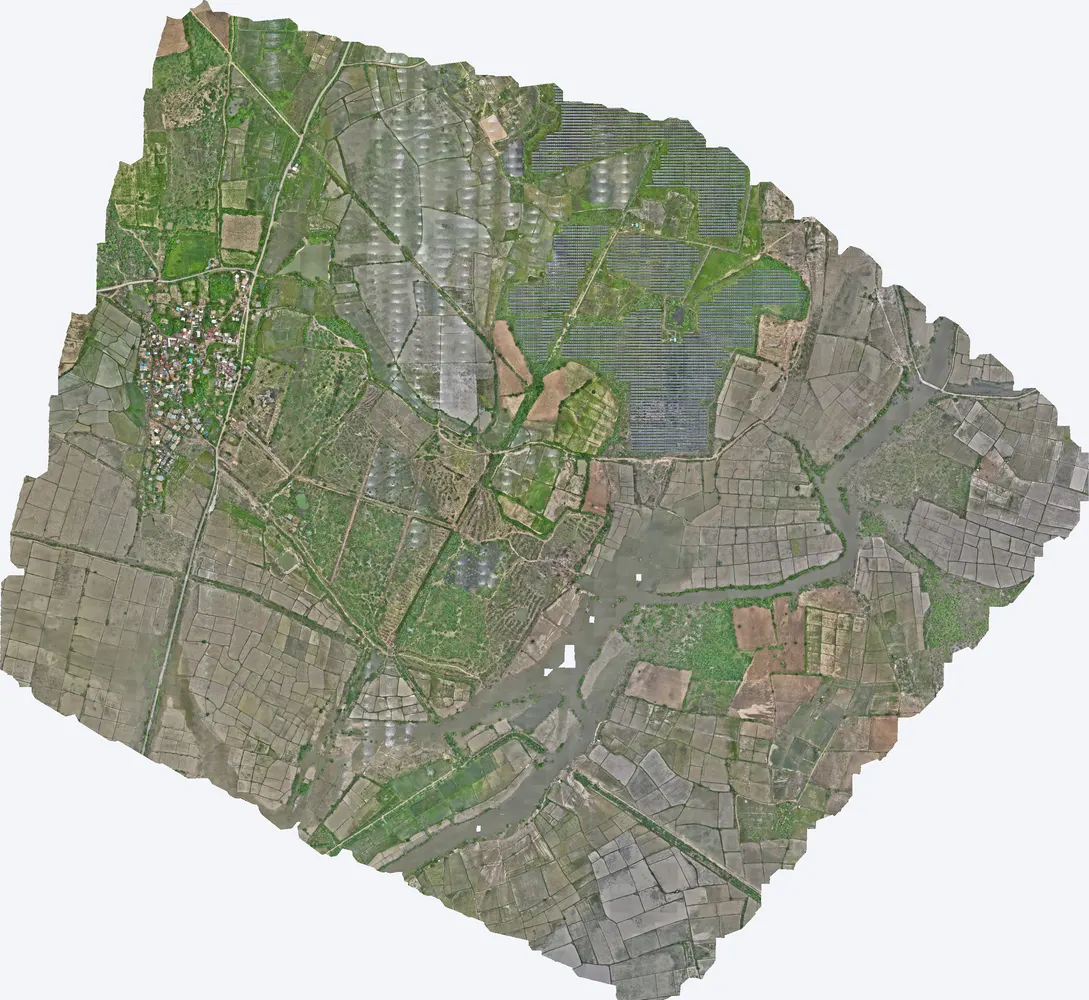
TerraX surveyed 1,416 acres for the Shukra horizontal development near Sanand, giving the developer a complete terrain model for layout, roads and drainage planning.
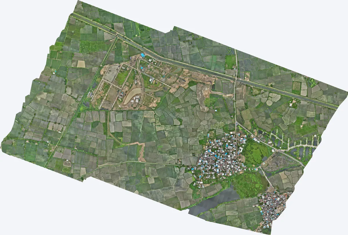
Moti Devti, Sanand
TerraX surveyed 550 acres at Moti Devti near Sanand for a developer planning a horizontal development.
Related guides
Get a quote
Send your KML file, site area, purpose and list of deliverables to Anjali Tripathi. We check the airspace zone before sending the quote. See also: Drone Survey Cost in India and Topographic Survey Cost in India.
Contact: Anjali Tripathi · Phone: +91 63546 68494 · Email: contact@terraexplore.in · Website: terraexplore.in
About TerraX: TerraX (TerraExplore) is a drone LiDAR and survey company based in Ahmedabad, working across India. Flying, DGPS ground control and data processing are all done by our in-house team of certified pilots and processing staff. See our services or send an enquiry.