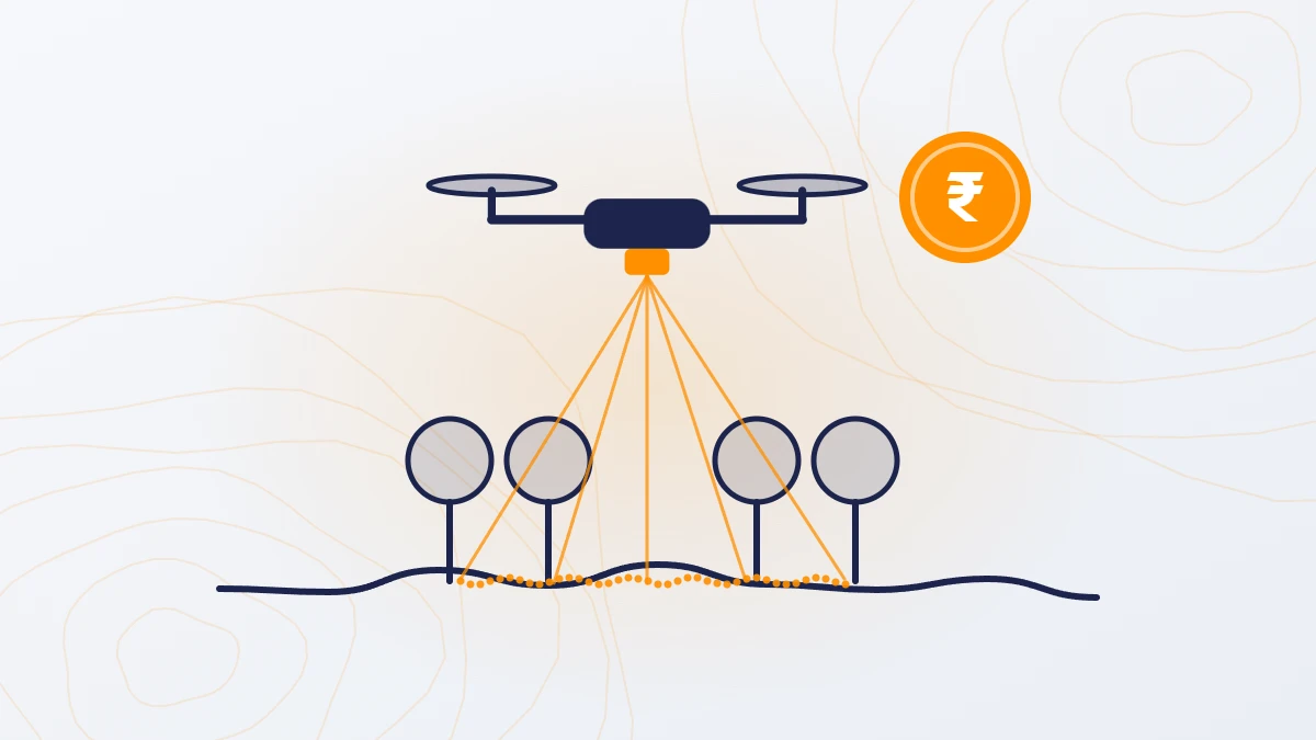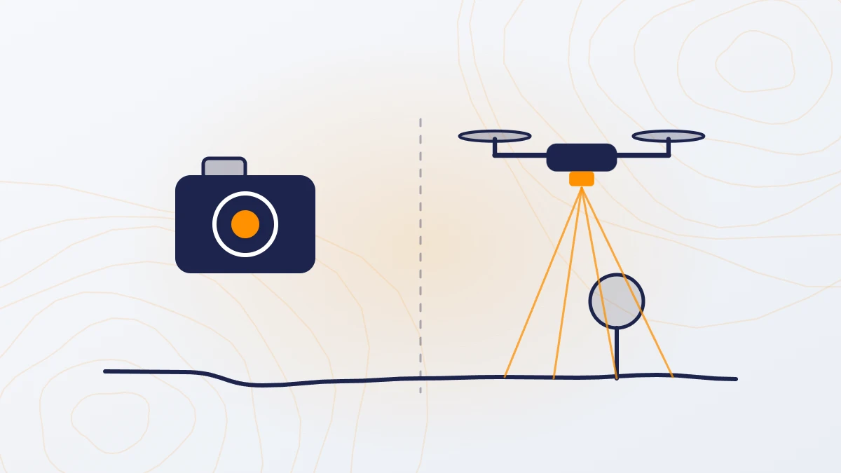
Quick answer: Choose LiDAR when the project needs accurate ground levels, especially on land with trees, crops or scrub. Choose photogrammetry (a camera survey) when you mainly need images and maps for visual inspection on open ground. LiDAR costs about 1.5–2 times more: ₹160–1,000 per acre against ₹100–500 per acre, for sites of 200 acres or more.
How does each method work?
Photogrammetry uses a camera on the drone. It takes hundreds or thousands of overlapping photos. Software matches the same points across the photos and builds a 3D surface and an orthophoto (a map-accurate photo). It can only measure what the camera sees, so on vegetated land it measures the top of the trees or crops, not the ground.
LiDAR (Light Detection and Ranging) uses a laser scanner on the drone. It sends laser pulses and measures how long each takes to return. Some pulses pass through gaps between leaves and reach the ground. Each return becomes a 3D point, giving 200–400 points per square metre.

LiDAR vs photogrammetry at a glance
| Photogrammetry (camera) | LiDAR | |
|---|---|---|
| Cost per acre (200+ acres) | ₹100–500 | ₹160–1,000 |
| Ground levels on open land | Yes, ±5 cm | Yes, ±5 cm |
| Ground levels under trees and crops | No | Yes |
| Thin features (wires, poles, edges) | Often missed | Captured |
| Needs good light | Yes, daylight and clear view | Less dependent on light |
| Main outputs | Orthophoto, DSM, 3D model | Classified point cloud, DTM, DSM, contours, orthophoto |
| Best for | Visual inspection, site plans, open-ground mapping | Design levels, drainage, flood studies, vegetated sites |

When should you choose LiDAR?
- The land has trees, crops, scrub or tall grass
- You need ground levels for design: grading, drainage, roads, canals, solar layouts
- Flood, stormwater or drainage studies, where small level differences matter
- Power line and road corridors
- Any project where an error in ground levels would be costly to fix later
When is photogrammetry enough?
- Open, bare ground such as cleared plots or stockpiles
- Visual inspection and progress monitoring
- Base maps and orthophotos for planning
- Feasibility-level work where tight ground levels are not needed
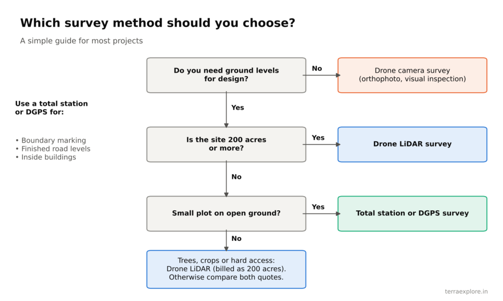
Can you get both?
Yes. A TerraX LiDAR survey includes an orthophoto at no extra cost, so you get the ground levels from LiDAR and the visual map from the camera in one survey.
Three common misunderstandings
- “A photogrammetry DTM is the same as a LiDAR DTM.” On open land it can be close. Under vegetation, a camera DTM is estimated by software, not measured.
- “LiDAR sees through solid tree cover.” It does not. It reaches the ground through gaps between leaves. Dense canopy reduces the number of ground points.
- “LiDAR costs 2–3 times more.” Older guides say this. With current sensors, the difference is about 1.5–2 times.
Frequently asked questions
What is the difference between LiDAR and photogrammetry?
Photogrammetry builds a 3D surface from overlapping photos, so it measures only what the camera can see. LiDAR measures distance with laser pulses, some of which reach the ground through gaps in vegetation.
Is LiDAR more accurate than photogrammetry?
On open ground, both give about ±5 cm in height. Under trees and crops, only LiDAR gives measured ground levels.
Which is cheaper, LiDAR or photogrammetry?
Photogrammetry. It costs ₹100–500 per acre; LiDAR costs ₹160–1,000 per acre, for sites of 200 acres or more.
Which is better for a topographic survey?
LiDAR, when the land has any vegetation or the levels will be used for design. Photogrammetry is enough for open, bare ground.
Our service for this
Drone LiDAR Topographic Survey →Aerial Photogrammetry and 3D Mapping →
Related case studies
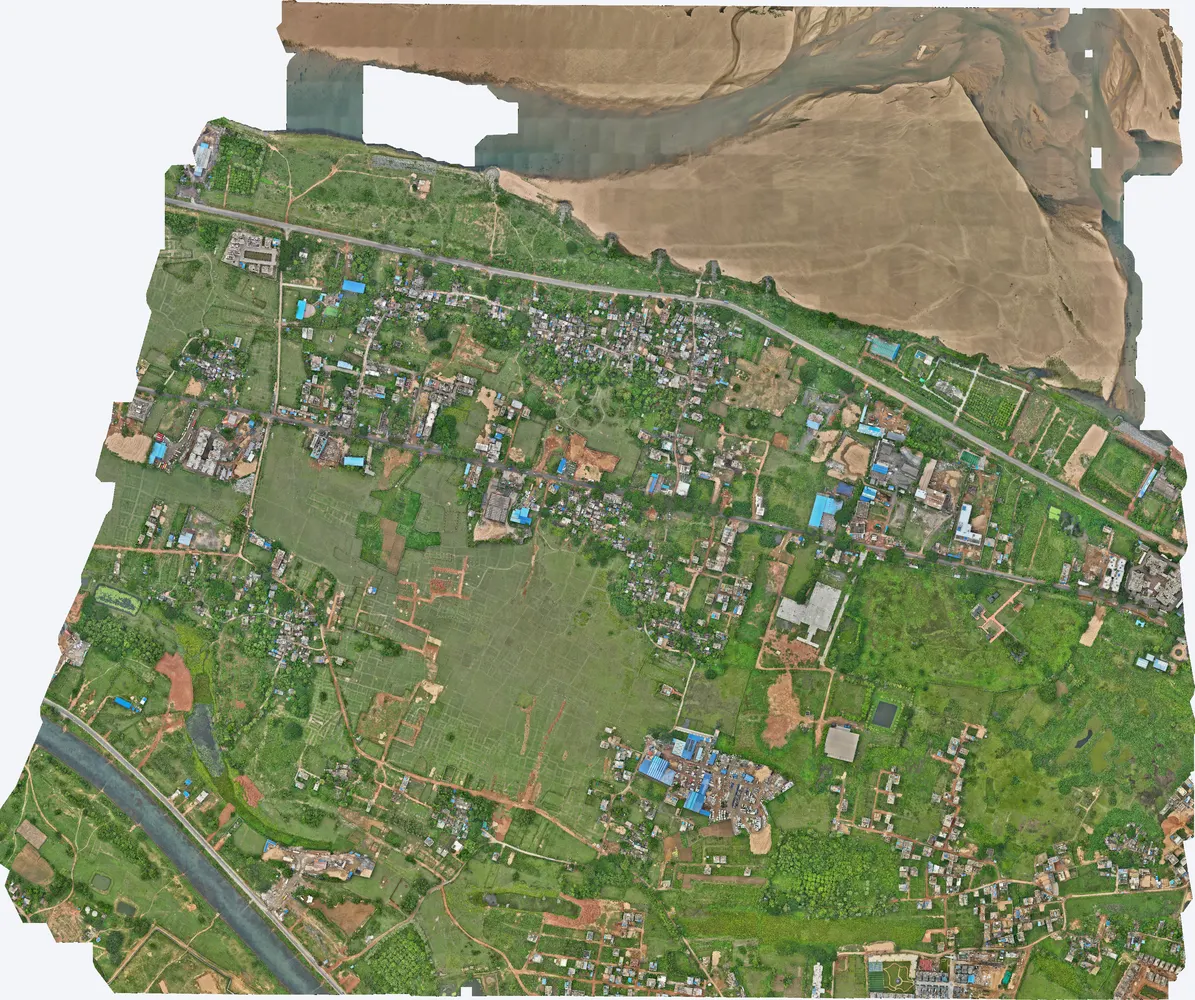
Cuttack, Odisha
A government department asked TerraX to test whether drone LiDAR could find illegal construction on government land. The pilot covered three villages near Cuttack, and its results were used to plan a much larger programme.
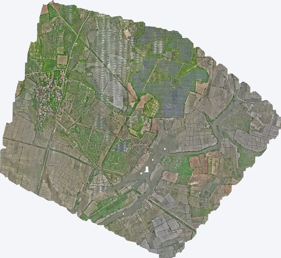
Shukra project, Sanand
TerraX surveyed 1,416 acres for the Shukra horizontal development near Sanand, giving the developer a complete terrain model for layout, roads and drainage planning.
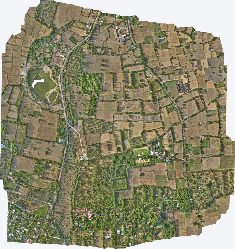
Kharawala, Sanand
TerraX mapped 531 acres around a private residence at Kharawala near Sanand to find the natural drains and the outfall point, so the owner could design drainage that also recharges groundwater.
Related guides
Get a quote
Not sure which method your site needs? Send your KML file, site area and purpose to Anjali Tripathi. See also: What Is a LiDAR Survey? and LiDAR Survey Cost in India.
Contact: Anjali Tripathi · Phone: +91 63546 68494 · Email: contact@terraexplore.in · Website: terraexplore.in
About TerraX: TerraX (TerraExplore) is a drone LiDAR and survey company based in Ahmedabad, working across India. Flying, DGPS ground control and data processing are all done by our in-house team of certified pilots and processing staff. See our services or send an enquiry.