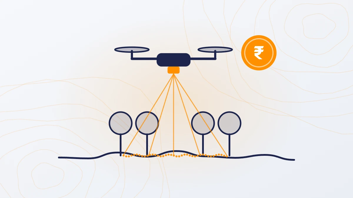
Quick answer: A drone LiDAR survey of a road, canal, pipeline or power line route costs ₹5,000–10,000 per km in India, for a corridor 150 m wide. One km of a 150 m corridor covers about 37 acres (15 hectares). GST at 18% and travel are extra. The survey gives ground levels along the whole route, including under trees and scrub.

How much does a LiDAR corridor survey cost per km?
| Corridor length (150 m wide) | Cost (before GST) |
|---|---|
| Up to 5.4 km (minimum order) | ₹60,000–2,00,000 (billed as 200 acres) |
| 10 km | ₹50,000–1,00,000 |
| 25 km | ₹1,25,000–2,50,000 |
| 50 km | ₹2,50,000–5,00,000 |
| 100 km | ₹5,00,000–10,00,000 |
For corridors wider than 150 m, or for a camera (photogrammetry) corridor survey, ask for a quote based on area.
What is included?
- Classified point cloud (LAS file)
- DTM (bare ground) and DSM (ground plus trees, buildings and structures)
- Contours at 0.25 m or any interval you need, also as a CAD drawing
- Orthophoto of the full corridor
- Levels on mean sea level (MSL), or tied to your local benchmark
Cross-sections and long sections can be taken from the DTM at any spacing. Mention them when you ask for a quote. Feature mapping (buildings, poles, culverts, drains) is charged extra.
Why use LiDAR for corridors?
- Long and narrow. A drone covers up to 1,000 acres a day, which is about 27 km of a 150 m corridor.
- Vegetation. Canal banks, road edges and pipeline routes are often covered with trees and scrub. LiDAR measures the ground through gaps in the vegetation; a camera survey cannot.
- Safety. Field crews on highways, railway lines and river crossings face traffic and access risks. The drone crew stays at the launch point.
- Detail. LiDAR records 200–400 points per square metre, so drain bottoms, bank tops and road edges are captured, not assumed.

What each corridor type needs from the survey
| Corridor | What the survey is used for |
|---|---|
| Road and highway | Alignment design, widening, earthwork, drainage, DPR |
| Canal and drain | Bed and bank levels, capacity checks, desilting, lining design |
| Pipeline | Route levels, crossings of roads, rivers and rail, trench depth |
| Power line | Ground profile along the route, trees and structures near the line |
| Railway | Track corridor levels, embankments, drainage, bridge approaches |
What changes the cost per km?
- Width. The ₹5,000–10,000 per km rate is for 150 m. Wider corridors are priced on area.
- Length. Very short corridors are subject to the 200-acre minimum order (about 5.4 km of a 150 m corridor).
- Access and terrain. Hilly or remote routes slow the work and add boarding and lodging costs.
- Airspace. Long routes often pass near airports. Yellow zones are handled by the survey team; red zones need Central Government permission and the client’s support.
- Travel. ₹20 per km outside Ahmedabad.
Frequently asked questions
What is the LiDAR survey cost per km in India?
₹5,000–10,000 per km for a corridor 150 m wide, before GST. Wider corridors are priced on area.
What is the minimum length for a corridor survey?
The minimum order is 200 acres, which is about 5.4 km of a 150 m corridor. Shorter routes are billed at the minimum.
Can a LiDAR survey give ground levels under trees along a canal or road?
Yes. Laser pulses pass through gaps in the leaves and reach the ground, so the survey gives ground levels under trees and scrub.
How long does a corridor survey take?
The drone covers up to 1,000 acres a day, about 27 km of a 150 m corridor. Final data is delivered in 8 days for projects up to 5,000 acres.
Our service for this
Infrastructure and Utility Corridor Mapping →
Related case studies
Santhal
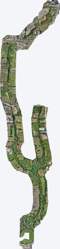
For a government pond interlinking project, TerraX surveyed the drain corridor at Santhal with drone LiDAR, giving the engineers the levels they needed for alignment, bed slope and earthwork design.
Lothal heritage region
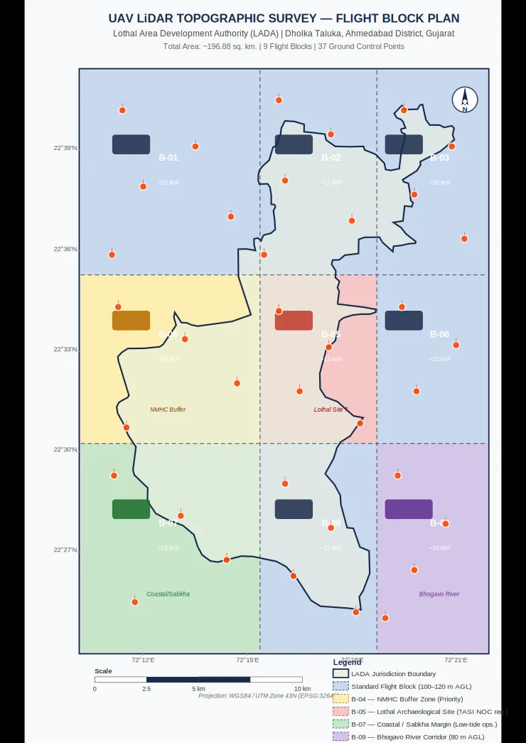
TerraX surveyed 247 sq km of the Lothal heritage region with drone LiDAR, merged every flight block into one seamless terrain model, and gave the master plan team measured ground levels at 0.04 m accuracy.
Industrial plant near Sanand
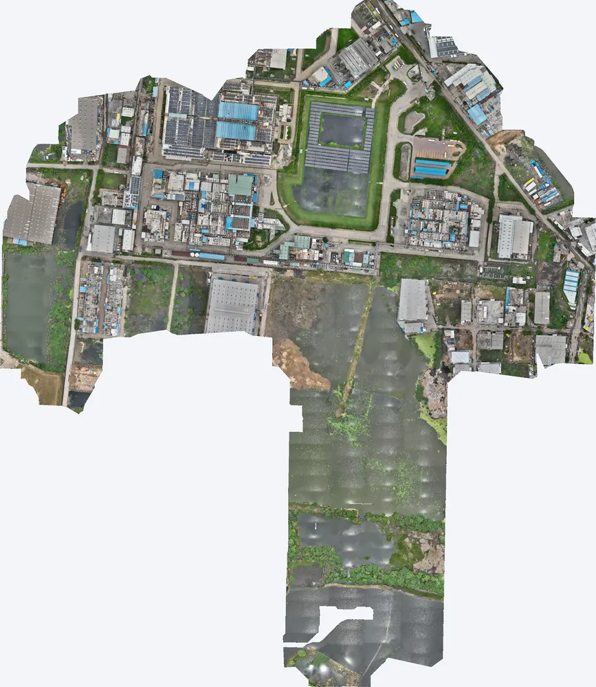
A manufacturing plant near Sanand used a TerraX LiDAR survey to understand how flood water reaches the site, protect its buildings, and work out its flood insurance cover on measured data.
Related guides
Get a quote
Send a KML file of the route, the corridor width, purpose and list of deliverables to Anjali Tripathi. We check the airspace zone along the route before sending the quote. See also: LiDAR Survey Cost in India and Drone Survey Cost in India.
Contact: Anjali Tripathi · Phone: +91 63546 68494 · Email: contact@terraexplore.in · Website: terraexplore.in
About TerraX: TerraX (TerraExplore) is a drone LiDAR and survey company based in Ahmedabad, working across India. Flying, DGPS ground control and data processing are all done by our in-house team of certified pilots and processing staff. See our services or send an enquiry.