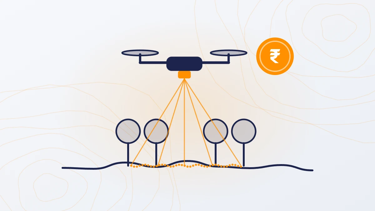
Quick answer: A drone survey in India costs ₹100–500 per acre with a camera and ₹160–1,000 per acre with LiDAR, for sites of 200 acres or more. The rate per acre falls as the site grows. LiDAR costs about ₹300–1,000 per acre at 200 acres and ₹160–300 per acre at 5,000 acres. Sites under 200 acres are billed as 200 acres.
Drone survey cost per acre by site size
Camera survey (photogrammetry): ₹100–500 per acre (₹247–1,236 per hectare).
LiDAR survey:
| Site area | Per acre | Per hectare | Total (before GST) |
|---|---|---|---|
| 200 acres | ₹300–1,000 | ₹741–2,471 | ₹60,000–2,00,000 |
| 500 acres | ₹160–700 | ₹395–1,730 | ₹80,000–3,50,000 |
| 1,000 acres | ₹200–500 | ₹494–1,236 | ₹2,00,000–5,00,000 |
| 5,000 acres | ₹160–300 | ₹395–741 | ₹8,00,000–15,00,000 |

The rate per acre falls with size because crew time, travel and setup are shared over more land. GST at 18% is extra.
What does a drone survey cost for a small plot?
The minimum order is 200 acres, so a smaller plot is billed as 200 acres. For a LiDAR survey, that is ₹60,000–2,00,000 whatever the plot size. A camera survey minimum is ₹20,000–1,00,000.
| Plot size | Billed as | LiDAR total | Works out per acre |
|---|---|---|---|
| 1 acre | 200 acres | ₹60,000–2,00,000 | ₹60,000–2,00,000 |
| 10 acres | 200 acres | ₹60,000–2,00,000 | ₹6,000–20,000 |
| 50 acres | 200 acres | ₹60,000–2,00,000 | ₹1,200–4,000 |
| 100 acres | 200 acres | ₹60,000–2,00,000 | ₹600–2,000 |
For a plot of a few acres, a ground survey with a total station or DGPS is better value. A drone LiDAR survey makes sense on a small plot only if it has dense vegetation or the ground is hard to reach.
For plots between 50 and 200 acres, compare quotes. A ground survey at ₹2,500–10,000 per acre can cost more than the drone minimum charge.

Is the rate per acre the same across Gujarat and India?
Yes. TerraX charges the same per-acre rate in Ahmedabad, Surat, Dholera, Kutch, Saurashtra and other states. Only travel (₹20 per km outside Ahmedabad) and boarding and lodging for the crew change with location.
What else changes the rate per acre?
- Survey type. LiDAR costs about 1.5–2 times a camera survey.
- Site access and weather. Rivers, mines, saline land and harsh climate reduce the area covered per day, which adds boarding and lodging costs.
- Airspace zone. Red-zone sites need Central Government permission and the client’s support, which adds time.
- Feature mapping. Mapping buildings, trees, poles and drains is charged extra.
- Repeat surveys. Repeat surveys of the same site cost 10–20% less.
Cost examples
The examples below apply TerraX rates to common project types.
| Site | Purpose | Method | Total (before GST) | Per acre |
|---|---|---|---|---|
| 200 acres | Township layout | LiDAR | ₹60,000–2,00,000 | ₹300–1,000 |
| 300 acres | Mine stockpile volumes | Camera | ₹30,000–1,50,000 per visit; repeat visits 10–20% less | ₹100–500 |
| 1,000 acres | Solar plant grading and drainage | LiDAR | ₹2,00,000–5,00,000 | ₹200–500 |
| 5,000 acres | Flood and drainage study | LiDAR | ₹8,00,000–15,00,000 | ₹160–300 |
Who uses per-acre drone surveys?
- Landowners checking levels before sale, development or NA conversion
- Developers planning townships, TP schemes and industrial parks
- Solar developers and land aggregators checking slopes, drainage and grading
- EPC contractors needing levels for design and earthwork
- Mine and quarry operators tracking stockpile volumes; a web-based volume app is free for one month with the survey
Tips before you book a drone survey
- Check the airspace zone. Ask whether the site is in a green, yellow or red zone. TerraX checks this before every quote.
- Be clear about the purpose. It decides the method, the accuracy and the deliverables.
- Ask for the accuracy in writing. Also ask how many ground control points will be used.
- Ask who does the work. Some companies only fly the drone and send the data to a third party for processing. This causes delays and lowers accuracy. Ask to see the in-house processing team.
- Send a KML file of the boundary. With the area, purpose and deliverables, it gets you an accurate quote quickly.
Frequently asked questions
How much does a drone survey cost per acre in India?
₹100–500 per acre with a camera and ₹160–1,000 per acre with LiDAR, for sites of 200 acres or more. GST at 18% is extra.
What is the drone survey cost per hectare?
About ₹247–1,236 per hectare for a camera survey and ₹395–2,471 per hectare for a LiDAR survey, for sites of 200 acres (81 hectares) or more.
What does a drone survey of 1 acre cost?
TerraX bills a minimum of 200 acres, so a 1-acre LiDAR survey costs the same as 200 acres: ₹60,000–2,00,000. For a plot this small on open ground, a total station or DGPS survey is better value.
Do larger sites get a lower rate per acre?
Yes. A LiDAR survey costs about ₹300–1,000 per acre at 200 acres and ₹160–300 per acre at 5,000 acres.
Is the drone survey rate the same across Gujarat?
Yes. The per-acre rate is the same everywhere. Only travel (₹20 per km outside Ahmedabad) and boarding and lodging change.
Our service for this
Aerial Photogrammetry and 3D Mapping →
Related case studies
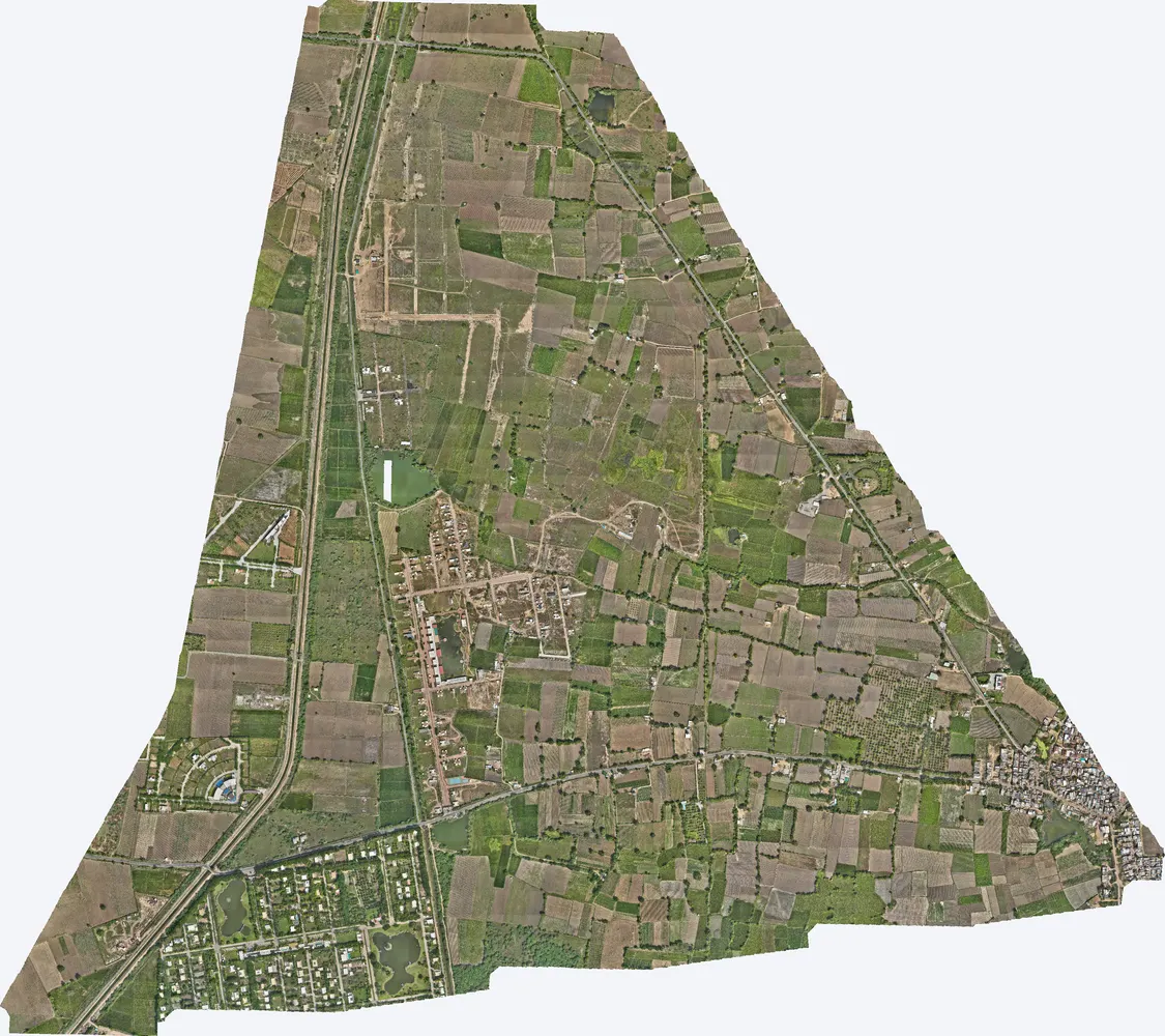
Agol, Kadi
TerraX surveyed 1,141 acres at Agol in Kadi taluka for a developer planning a horizontal development.
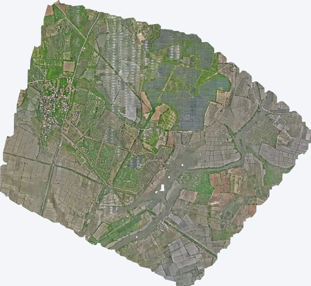
Shukra project, Sanand
TerraX surveyed 1,416 acres for the Shukra horizontal development near Sanand, giving the developer a complete terrain model for layout, roads and drainage planning.
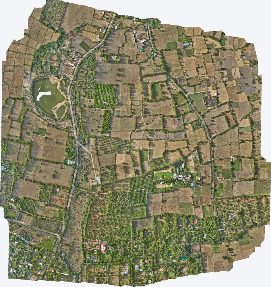
Kharawala, Sanand
TerraX mapped 531 acres around a private residence at Kharawala near Sanand to find the natural drains and the outfall point, so the owner could design drainage that also recharges groundwater.
Related guides
Get a quote
Send your KML file, site area, purpose and list of deliverables to Anjali Tripathi. See also: Drone Survey Cost in India and LiDAR Survey Cost in India.
Contact: Anjali Tripathi · Phone: +91 63546 68494 · Email: contact@terraexplore.in · Website: terraexplore.in
About TerraX: TerraX (TerraExplore) is a drone LiDAR and survey company based in Ahmedabad, working across India. Flying, DGPS ground control and data processing are all done by our in-house team of certified pilots and processing staff. See our services or send an enquiry.