
Engineering-ready contours and terrain models for land development, industrial sites, roads and water projects, built from drone LiDAR or photogrammetry with DGPS ground control.
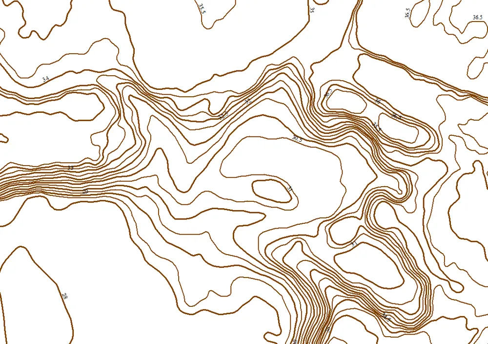
| Best for | Layout planning, drainage design, earthwork estimates, approvals |
|---|---|
| Contour interval | 0.5 m or 1 m (2 m for very large areas) |
| Vertical accuracy | ±5 cm |
| Outputs | Contours, DTM, slope and aspect maps, cut–fill quantities |
| Formats | DWG/DXF, SHP, GeoTIFF, PDF |
Contours are lines of equal ground level. We generate them from a cleaned bare-earth terrain model, so they follow the real ground and not trees, buildings or vehicles. The same terrain model gives slope maps and the volumes of cut and fill needed to level a site.
Projects where we delivered this service.
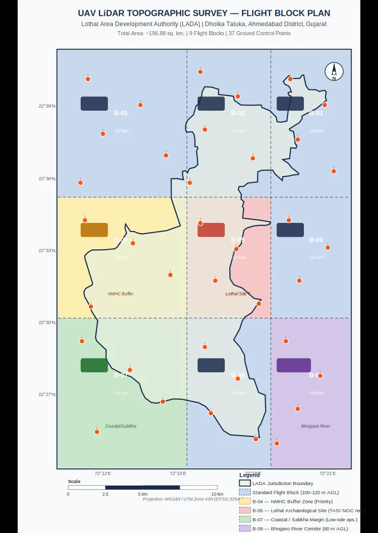
Contours at 0.5 m, 1 m and 2 m over 247 sq km for an infrastructure master plan.
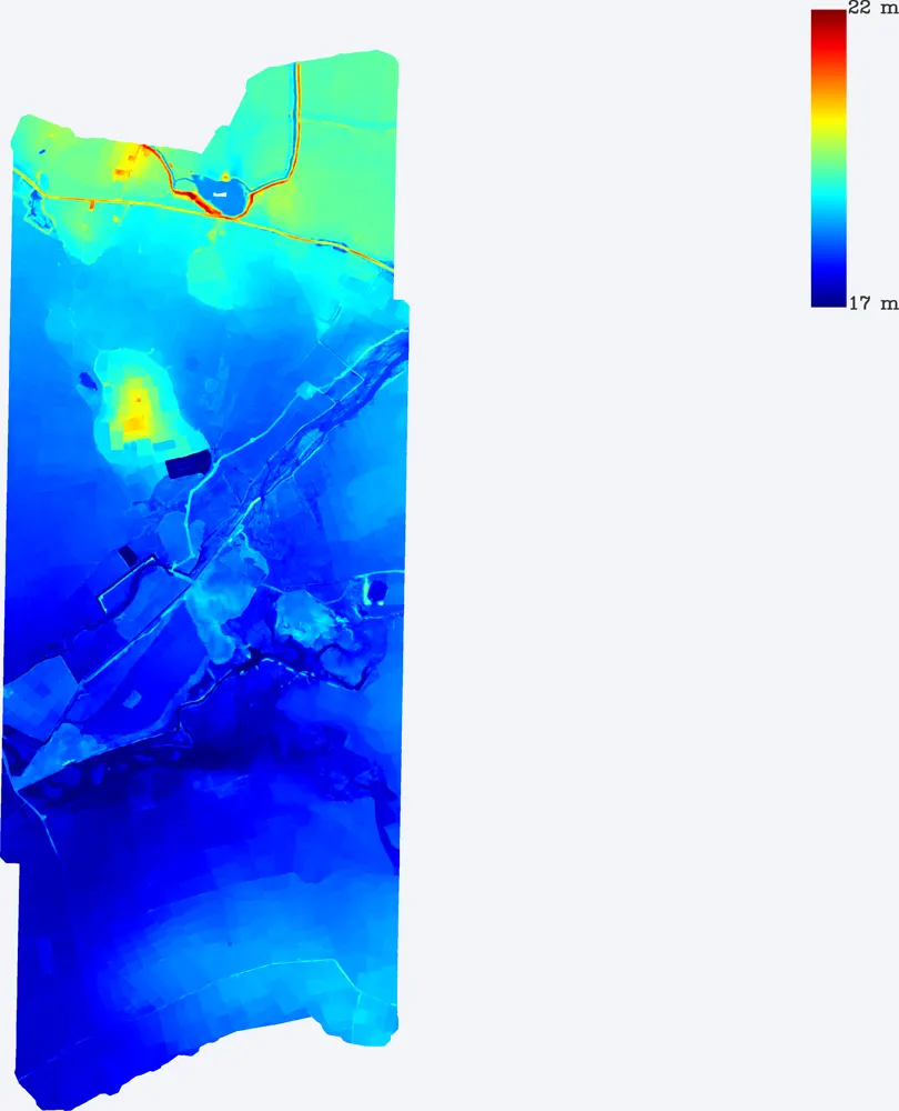
Terrain model of 1,099 acres with a drain crossing the site.
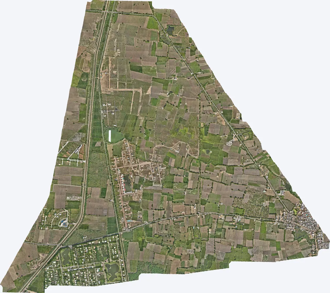
Gentle slopes of a few metres across 1,141 acres, mapped for layout and drainage.
0.5 m for drainage and detailed design on flat land; 1 m for general layout; 2 m for very large regional areas.
From the bare-earth terrain model, so trees and buildings are removed.
Yes. Give us the design level or surface and we report cut and fill quantities.
Send the site location (KMZ or Google Maps pin), the area and the outputs you need. We reply with a method, a price and a timeline.