Survey Cost Guides
LiDAR Survey Cost in India (2026): Rates per Acre and per km
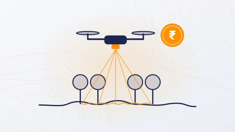
LiDAR drone survey cost in India: ₹160–1,000 per acre for sites over 200 acres and ₹5,000–10,000 per km for corridors. What is included and when LiDAR is worth it.

LiDAR drone survey cost in India: ₹160–1,000 per acre for sites over 200 acres and ₹5,000–10,000 per km for corridors. What is included and when LiDAR is worth it.
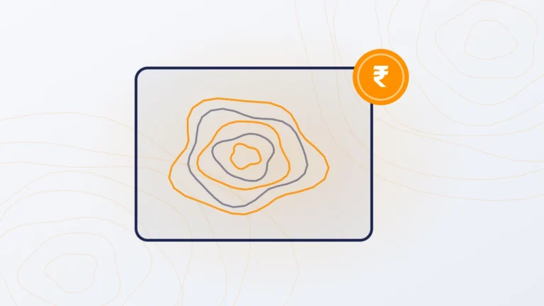
Topographic survey cost in India in 2026: total station ₹2,500–10,000 per acre, drone camera ₹100–500, drone LiDAR ₹160–1,000. Deliverables, contours and how to choose.
Drone survey cost per acre in India: ₹100–500 by camera and ₹160–1,000 by LiDAR for sites over 200 acres. Rates by site size, small-plot pricing and worked examples.
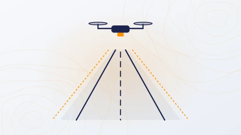
LiDAR survey cost per km for roads, canals, pipelines and power lines in India: ₹5,000–10,000 per km for a 150 m wide corridor. What is included and what changes the price.
Drone survey cost in India in 2026: camera survey ₹100–500 per acre, LiDAR ₹160–1,000 per acre for sites over 200 acres. Rates from an operating survey team.