
Long, narrow surveys for roads, railways, canals, drains, pipelines and power lines. We fly only the strip you need and deliver levels for alignment, sections and quantities.
| Best for | Roads, railways, canals, drains, pipelines, transmission lines |
|---|---|
| Corridor width | 150 m standard; wider on request |
| Vertical accuracy | ±5 cm |
| Outputs | Point cloud, DTM, orthophoto, long and cross sections, ROW map |
| Price | ₹5,000–10,000 per km for a 150 m corridor |
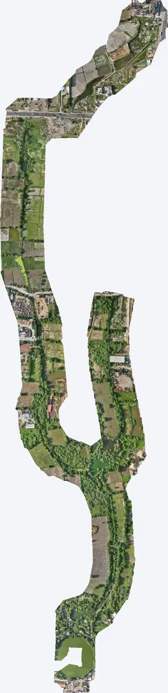
A corridor survey covers a strip along a planned or existing route. Because only the strip is flown, it costs much less than surveying the whole area. From the ground point cloud, long sections and cross sections can be cut at any chainage.
Projects where we delivered this service.
Corridor survey of a drain linking village ponds, used for alignment and bed levels.
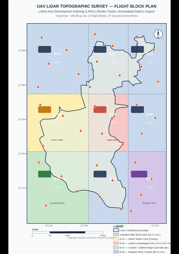
River and canal corridors inside a 247 sq km survey, flown lower for extra detail.
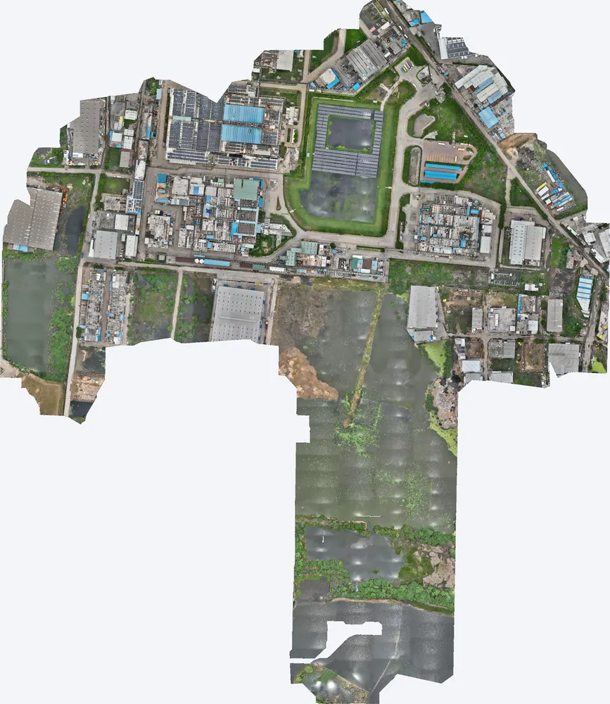
Drainage paths and ponds around a plant, mapped for flood protection.
Per km: ₹5,000–10,000 per km for a 150 m wide corridor, depending on length, terrain and outputs.
Yes, at any interval along the route, from the ground point cloud.
Yes. Wider corridors are quoted by area.
Send the site location (KMZ or Google Maps pin), the area and the outputs you need. We reply with a method, a price and a timeline.