
Sharp, measured aerial maps of your site. Photogrammetry turns overlapping drone photos into a geo-referenced orthophoto, a surface model and a 3D model, for planning, land records and monitoring.
| Best for | Open land, built-up areas, land records, progress monitoring, stockpiles |
|---|---|
| Orthophoto detail | 2–5 cm per pixel |
| Vertical accuracy | ±5 cm on open ground with DGPS control |
| Outputs | Orthophoto, DSM, 3D textured model, volumes, change maps |
| Formats | GeoTIFF, ECW, KMZ, OBJ, LAS, DWG/DXF, PDF |
| Price | ₹100–500 per acre for sites of 200+ acres |
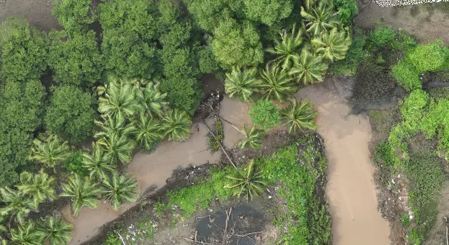
The drone takes hundreds or thousands of overlapping photos. Software matches the same points across photos to build a true-scale map (orthophoto) and a surface model. With DGPS ground control the map lines up with your land records and drawings.
Photogrammetry only sees what is visible from above, so under trees and crops it measures the top of the vegetation. Where ground levels under vegetation matter, we recommend LiDAR; many of our projects deliver both an orthophoto and a LiDAR terrain model.
Projects where we delivered this service.
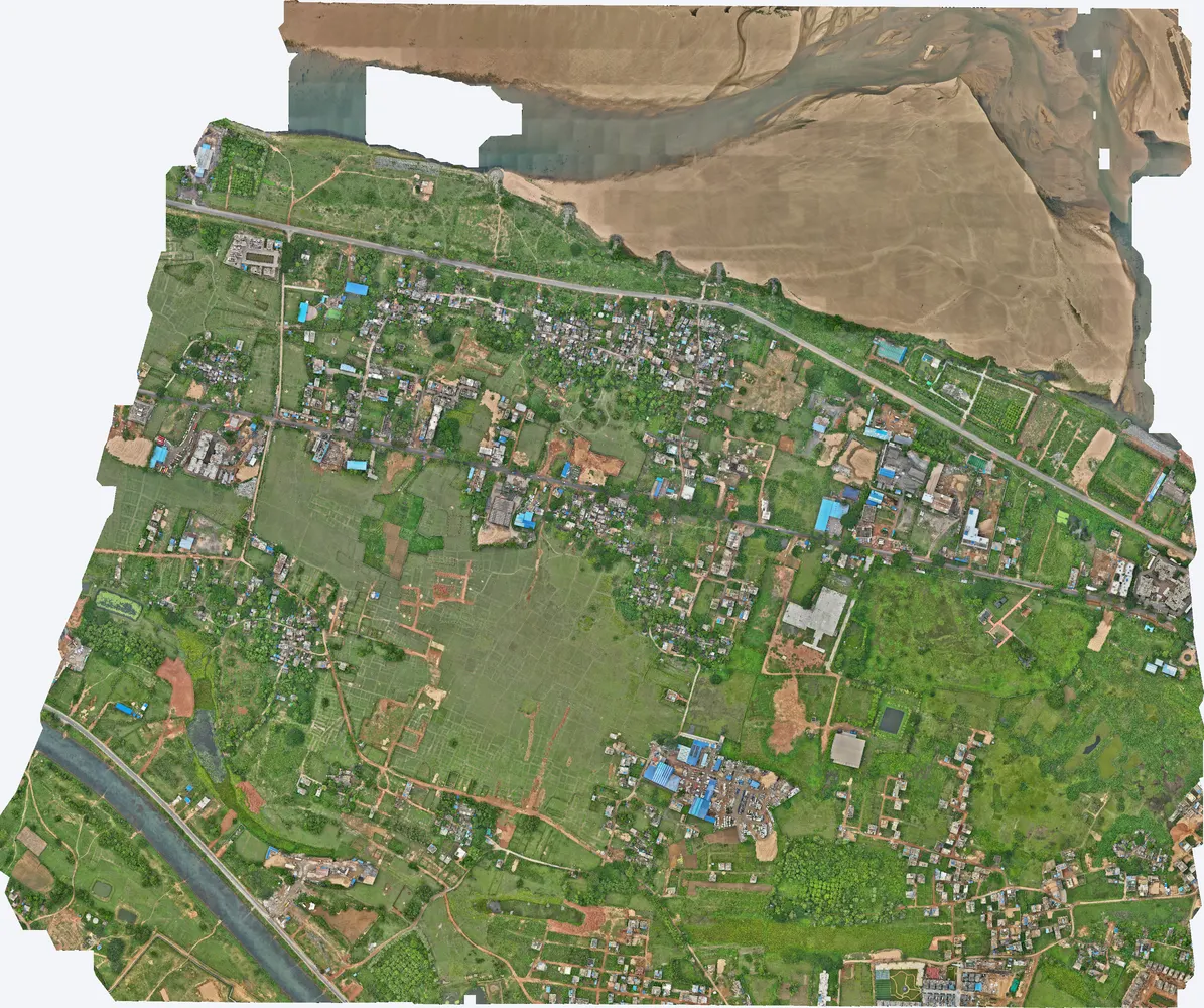
5 cm orthophoto overlaid on land records to find illegal construction on government land.
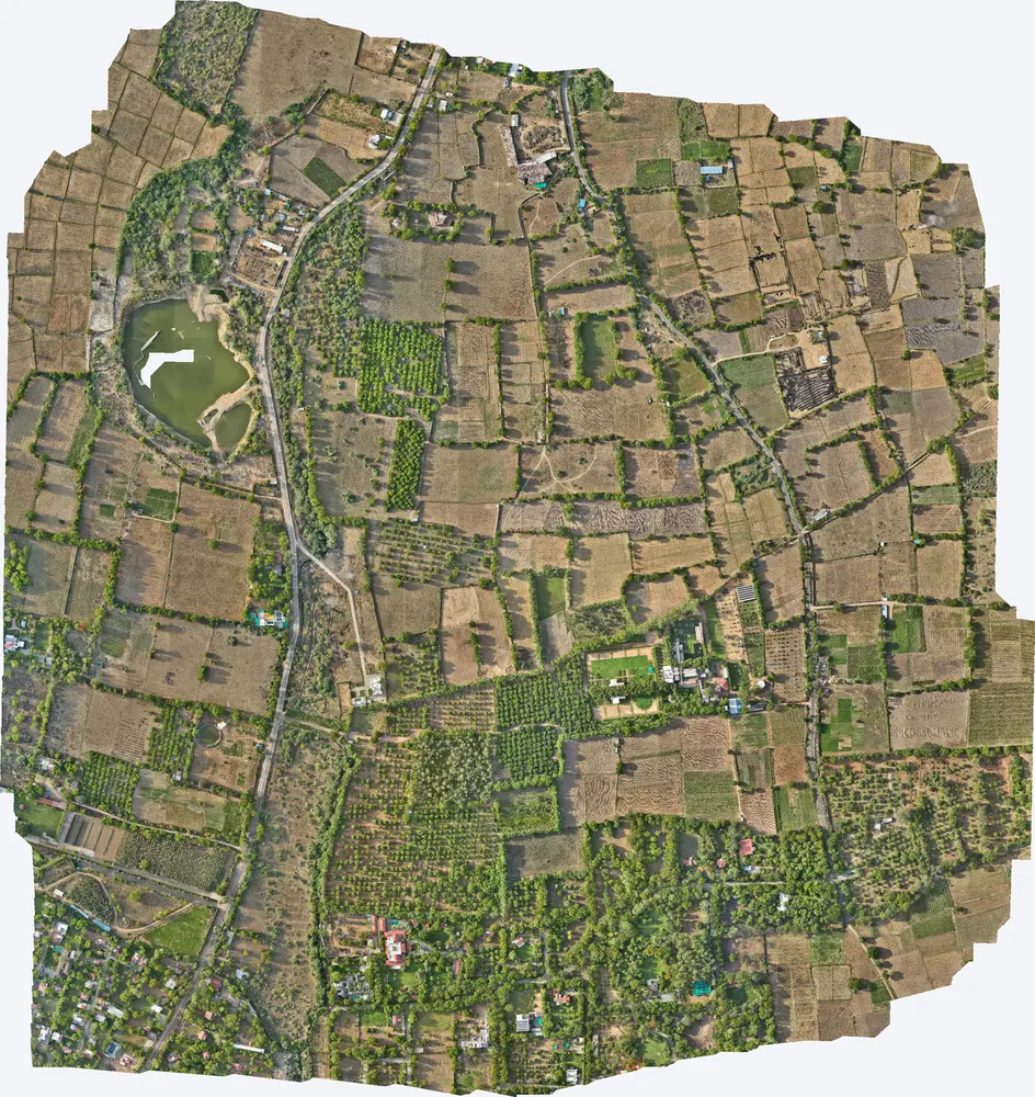
2.9 cm orthophoto of 531 acres, with the terrain model for drainage design.
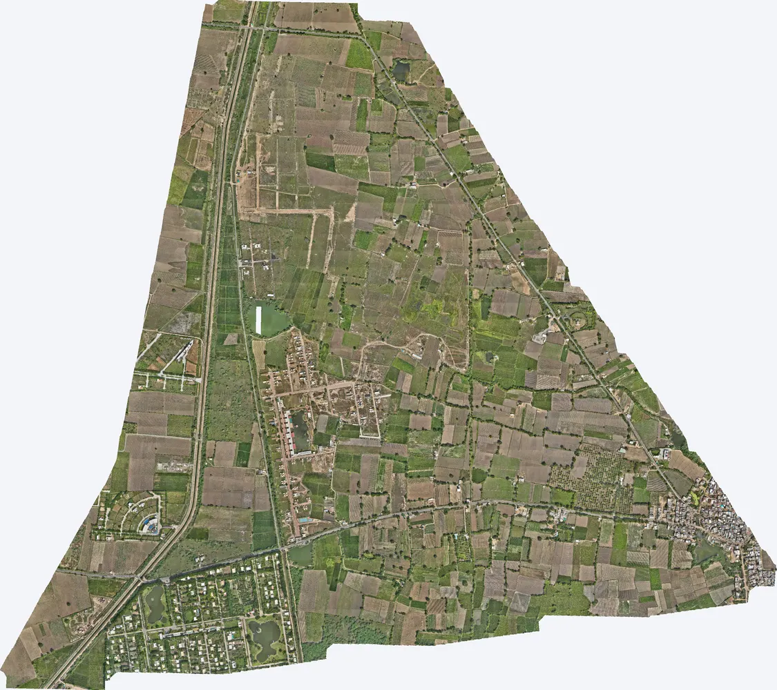
Orthophoto and elevation model of 1,141 acres for development planning.
A map made from drone photos, corrected so that distances and areas can be measured on it like a survey drawing.
Typically 2–5 cm per pixel, depending on flying height.
Yes, usually. Photogrammetry costs ₹100–500 per acre for sites of 200+ acres; LiDAR costs more but measures ground under vegetation.
Send the site location (KMZ or Google Maps pin), the area and the outputs you need. We reply with a method, a price and a timeline.