LiDAR and Mapping Basics
LiDAR vs Photogrammetry: Which Drone Survey Do You Need?
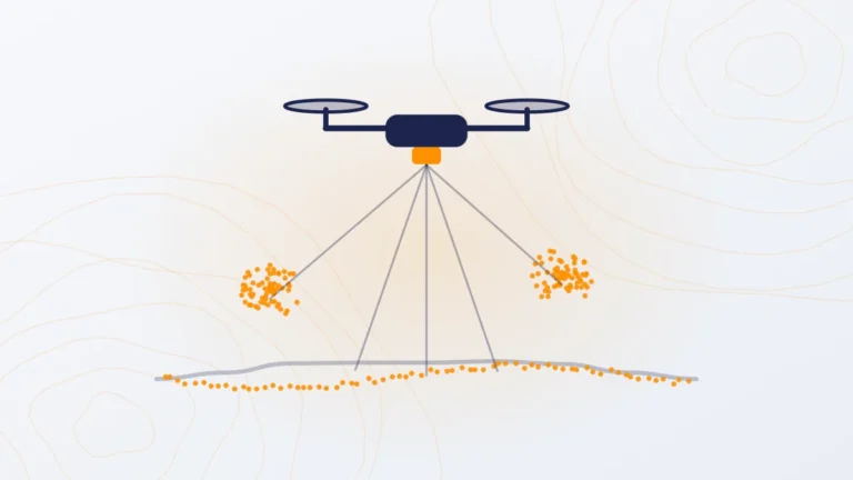
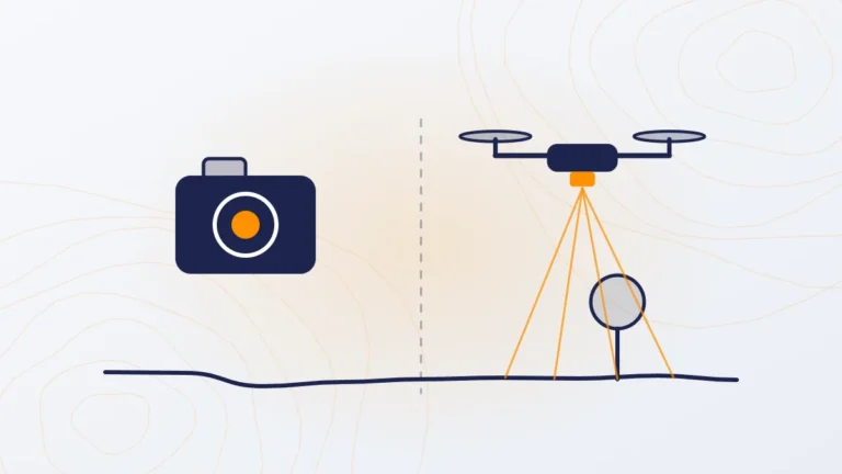
LiDAR vs photogrammetry for drone surveys in India: how each works, cost per acre, accuracy, and which one to choose for ground levels, vegetation and visual inspection.